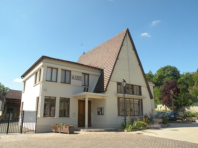
Longuesse (Longuesse)

- commune in Val-d'Oise, France
- Country:

- Postal Code: 95450
- Coordinates: 49° 3' 44" N, 1° 55' 56" E


- GPS tracks (wikiloc): [Link]
- Area: 8.5 sq km
- Population: 534
- Web site: http://www.mairie-longuesse.fr
- Wikipedia en: wiki(en)
- Wikipedia: wiki(fr)
- Wikidata storage: Wikidata: Q273198
- Wikipedia Commons Category: [Link]
- Freebase ID: [/m/03qllcw]
- Freebase ID: [/m/03qllcw]
- GeoNames ID: Alt: [6446290]
- GeoNames ID: Alt: [6446290]
- SIREN number: [219503489]
- SIREN number: [219503489]
- BnF ID: [15280465j]
- BnF ID: [15280465j]
- PACTOLS thesaurus ID: [pcrtYT2X500ARy]
- PACTOLS thesaurus ID: [pcrtYT2X500ARy]
- INSEE municipality code: 95348
- INSEE municipality code: 95348
Shares border with regions:


Condécourt
- commune in Val-d'Oise, France
- Country:
- Postal Code: 95450
- Coordinates: 49° 2' 34" N, 1° 56' 32" E
- GPS tracks (wikiloc): [Link]
- Area: 6.94 sq km
- Population: 576
- Web site: [Link]
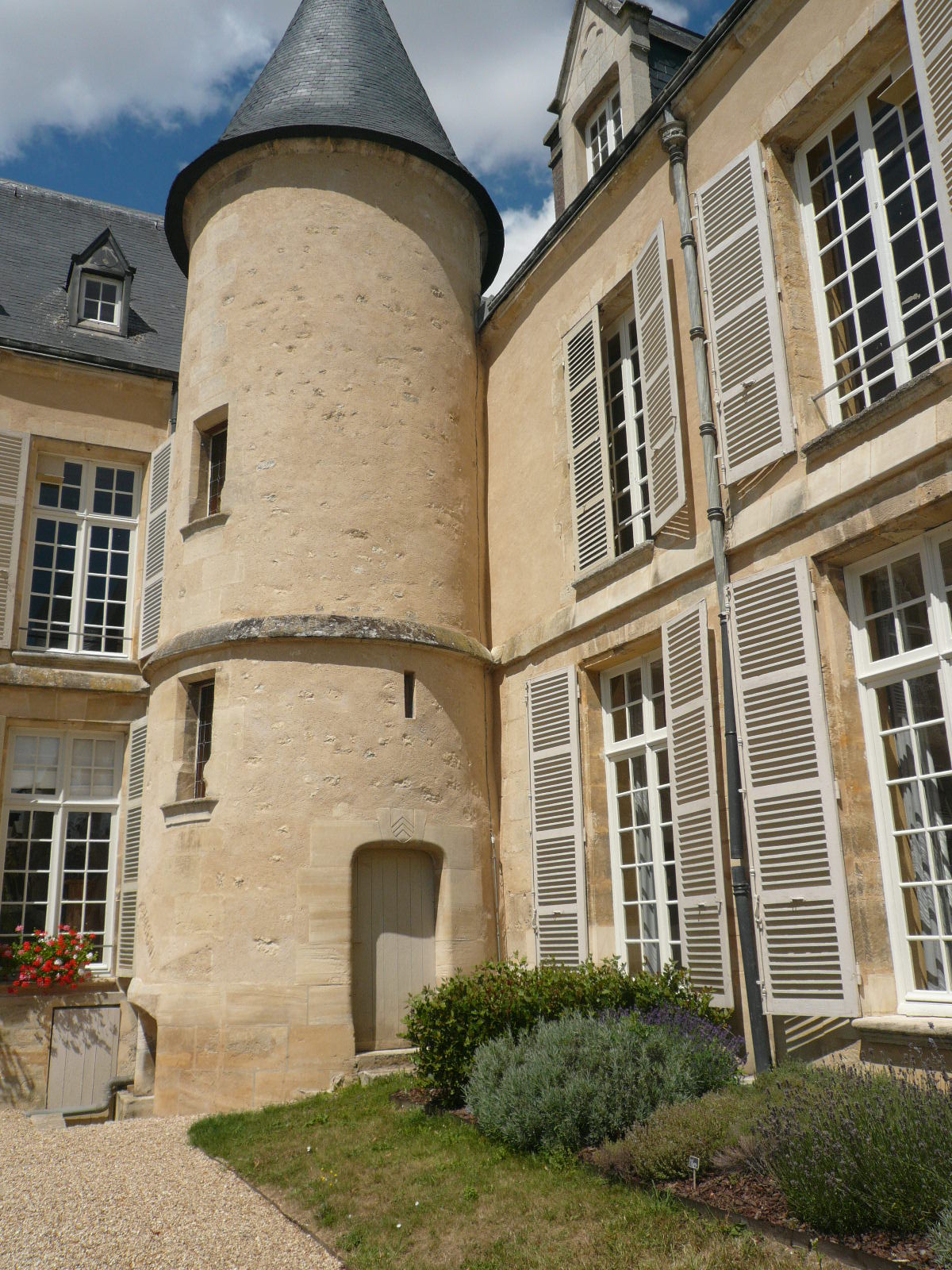
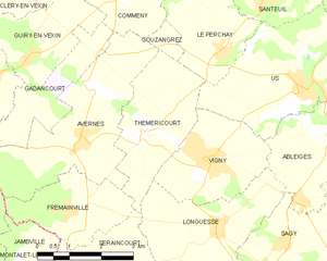
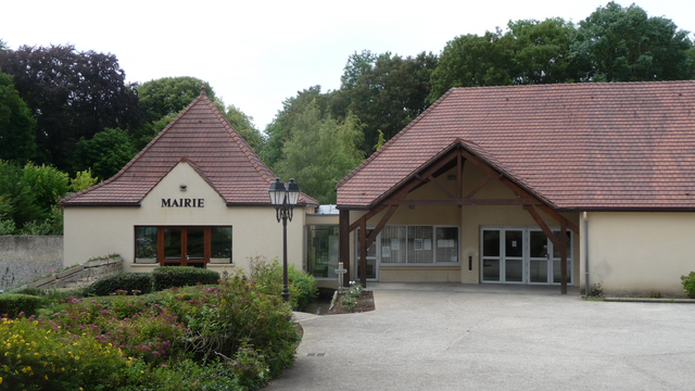
Théméricourt
- commune in Val-d'Oise, France
- Country:
- Postal Code: 95450
- Coordinates: 49° 5' 11" N, 1° 53' 47" E
- GPS tracks (wikiloc): [Link]
- Area: 7.58 sq km
- Population: 284
- Web site: [Link]

Seraincourt
- commune in Val-d'Oise, France
- Country:
- Postal Code: 95450
- Coordinates: 49° 2' 7" N, 1° 52' 2" E
- GPS tracks (wikiloc): [Link]
- Area: 11.28 sq km
- Population: 1305
- Web site: [Link]


Vigny
- commune in Val-d'Oise, France
- Country:
- Postal Code: 95450
- Coordinates: 49° 4' 40" N, 1° 55' 42" E
- GPS tracks (wikiloc): [Link]
- Area: 6.56 sq km
- Population: 1079
- Web site: [Link]


Sagy
- commune in Val-d'Oise, France
- Country:
- Postal Code: 95450
- Coordinates: 49° 3' 1" N, 1° 57' 7" E
- GPS tracks (wikiloc): [Link]
- Area: 10.53 sq km
- Population: 1124
- Web site: [Link]

Gaillon-sur-Montcient
- commune in Yvelines, France
- Country:
- Postal Code: 78250
- Coordinates: 49° 1' 33" N, 1° 53' 35" E
- GPS tracks (wikiloc): [Link]
- AboveSeaLevel: 91 м m
- Area: 4.83 sq km
- Population: 680


Ableiges
- commune in Val-d'Oise, France
- Country:
- Postal Code: 95450
- Coordinates: 49° 5' 25" N, 1° 58' 53" E
- GPS tracks (wikiloc): [Link]
- AboveSeaLevel: 128 м m
- Area: 8.03 sq km
- Population: 1140
- Web site: [Link]