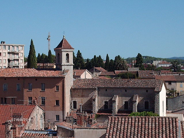
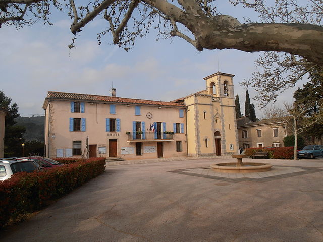
Lorgues (Lorgues)
- commune in Var, France
Lorgues, a picturesque village located in the Var department of the Provence-Alpes-Côte d'Azur region in southeastern France, offers several opportunities for hiking enthusiasts. The surrounding landscapes feature rolling hills, vineyards, olive groves, and dense forests, making it a beautiful backdrop for outdoor activities.
Popular Hiking Trails
-
Sentier des Meules: This trail takes you through the stunning countryside of Lorgues, showcasing the scenic beauty of the region. The path is relatively easy and suitable for families, offering breathtaking views of the surrounding hills and vineyards.
-
Les Gorges du Verdon: Although a bit of a drive from Lorgues, this area boasts some of the most spectacular hiking trails in France. The trails along the cliffs of the Verdon River offer both challenging pathways and breathtaking views of the turquoise water below.
-
Local Vineyards and Olive Groves: Many vineyards in the area have marked trails, allowing you to combine hiking with wine tasting or olive oil sampling. These scenic walks often lead you through charming landscapes and provide insights into the region's agricultural heritage.
Tips for Hiking in Lorgues
- Stay Hydrated: Make sure to carry plenty of water, especially during the warmer months, as temperatures can rise significantly.
- Dress Appropriately: Wear comfortable hiking shoes and dress in layers, as the weather can change. Sunscreen and a hat are also recommended.
- Trail Maps: It’s a good idea to obtain maps or information about the trails from local tourist offices, as they can provide up-to-date information on trail conditions.
- Respect Nature: Follow the Leave No Trace principles. Stay on marked trails, avoid disturbing wildlife, and take all trash with you.
Best Seasons for Hiking
The best times to hike in Lorgues are in the spring (April to June) and fall (September to October), when the weather is mild, and the natural beauty of the region, including blooming wildflowers and changing leaves, is at its peak.
Conclusion
Whether you are looking for a leisurely walk or a more challenging hike, Lorgues and its surrounding areas offer a variety of trails for hikers of all skill levels. Just be prepared to enjoy not only the exercise but also the stunning views and local charm of this beautiful part of Provence!
- Country:

- Postal Code: 83510
- Coordinates: 43° 29' 36" N, 6° 21' 40" E


- GPS tracks (wikiloc): [Link]
- Area: 64.37 sq km
- Population: 9042
- Web site: http://www.lorgues.fr
- Wikipedia en: wiki(en)
- Wikipedia: wiki(fr)
- Wikidata storage: Wikidata: Q733009
- Wikipedia Commons Gallery: [Link]
- Wikipedia Commons Category: [Link]
- Freebase ID: [/m/03w9kv6]
- GeoNames ID: Alt: [2997581]
- SIREN number: [218300721]
- BnF ID: [15277899f]
- VIAF ID: Alt: [239654274]
- GND ID: Alt: [4669088-8]
- INSEE municipality code: 83072
Shares border with regions:


Vidauban
- commune in Var, France
Vidauban is a charming village located in the Var department of the Provence-Alpes-Côte d'Azur region in southeastern France. Surrounded by beautiful landscapes, it offers a variety of hiking opportunities that cater to different skill levels. Here are some highlights and tips for hiking in Vidauban:...
- Country:

- Postal Code: 83550
- Coordinates: 43° 25' 38" N, 6° 25' 55" E


- GPS tracks (wikiloc): [Link]
- Area: 73.93 sq km
- Population: 11391


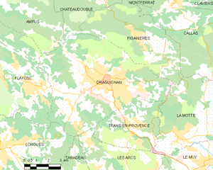
Draguignan
- commune in Var, France
Draguignan, located in the Var region of southern France, is a charming town surrounded by beautiful natural landscapes, making it a fantastic location for hiking enthusiasts. Here are some key points about hiking in and around Draguignan:...
- Country:

- Postal Code: 83300
- Coordinates: 43° 32' 22" N, 6° 27' 58" E


- GPS tracks (wikiloc): [Link]
- Area: 53.75 sq km
- Population: 40278
- Web site: [Link]


Le Cannet-des-Maures
- commune in Var, France
 Hiking in Le Cannet-des-Maures
Le Cannet-des-Maures, located in the Var department of the Provence-Alpes-Côte d'Azur region in southeastern France, offers a variety of hiking opportunities that showcase the beautiful landscapes of the area. The town is situated near the lush hills of the Maures Massif, which is known for its dense forests, Mediterranean scrub, and stunning views of the surrounding countryside....
- Country:

- Postal Code: 83340
- Coordinates: 43° 23' 30" N, 6° 20' 27" E


- GPS tracks (wikiloc): [Link]
- Area: 73.64 sq km
- Population: 4356


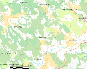
Taradeau
- commune in Var, France
Taradeau is a charming village located in the Var department of the Provence-Alpes-Côte d'Azur region in southeastern France. While it may not be as widely recognized as other hiking destinations, it offers a unique experience for hikers looking to explore the picturesque landscapes of the Provence region....
- Country:

- Postal Code: 83460
- Coordinates: 43° 27' 15" N, 6° 25' 38" E


- GPS tracks (wikiloc): [Link]
- Area: 17.31 sq km
- Population: 1811
- Web site: [Link]


Saint-Antonin-du-Var
- commune in Var, France
 Hiking in Saint-Antonin-du-Var
Saint-Antonin-du-Var, located in the Var department of Provence-Alpes-Côte d'Azur in France, is a charming destination for hikers looking to explore the beautiful landscapes of the region. Here are some highlights you can expect when hiking in and around this picturesque village:...
- Country:

- Postal Code: 83510
- Coordinates: 43° 30' 24" N, 6° 17' 13" E


- GPS tracks (wikiloc): [Link]
- Area: 17.64 sq km
- Population: 748
- Web site: [Link]


Le Thoronet
- commune in Var, France
Le Thoronet, located in the Var region of southeastern France, is known for its beautiful natural landscapes, including rolling hills, lush forests, and vineyards. Hiking in Le Thoronet offers a variety of trails suitable for different skill levels, with picturesque views and a chance to explore the region's natural beauty....
- Country:

- Postal Code: 83340
- Coordinates: 43° 27' 7" N, 6° 18' 14" E


- GPS tracks (wikiloc): [Link]
- Area: 37.53 sq km
- Population: 2442
- Web site: [Link]


Flayosc
- commune in Var, France
Flayosc is a charming village located in the Provence-Alpes-Côte d'Azur region of southeastern France, situated near the Var River and surrounded by stunning natural landscapes. The area offers numerous hiking opportunities that cater to various skill levels, from leisurely walks to more challenging trails....
- Country:

- Postal Code: 83780
- Coordinates: 43° 32' 3" N, 6° 23' 49" E


- GPS tracks (wikiloc): [Link]
- Area: 45.95 sq km
- Population: 4341
- Web site: [Link]
