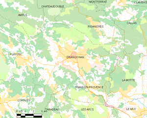
Draguignan (Draguignan)
- commune in Var, France
Draguignan, located in the Var region of southern France, is a charming town surrounded by beautiful natural landscapes, making it a fantastic location for hiking enthusiasts. Here are some key points about hiking in and around Draguignan:
Scenic Trails
-
Local Trails: The area offers a network of hiking trails that cater to different skill levels. You can explore paths that lead through vineyards, olive groves, and forests of oak and pine.
-
Gorges nearby: The nearby Gorges du Verdon, often referred to as the "Grand Canyon of Europe," is a must-visit. It boasts stunning views and various trails that can challenge even experienced hikers.
-
Plateau de Caussols: A bit further afield, this area offers higher elevation hiking with panoramic views of the countryside. The trail through this plateau can take you through unique geological formations.
Flora and Fauna
Hiking in Draguignan provides opportunities to experience Mediterranean flora and fauna. Keep an eye out for local wildlife, and during spring, you may see vibrant wildflowers in bloom.
Tips for Hiking in Draguignan
-
Weather Considerations: The best times to hike in this region are in spring (April to June) and fall (September to October) when temperatures are pleasant. Summers can be quite hot.
-
Hydration and Supplies: Always carry enough water and snacks, especially if you're planning a longer hike.
-
Maps and Guidance: While some trails are well-marked, it's a good idea to have a map or a hiking app to navigate unfamiliar paths. Local tourism offices can provide detailed trail maps and up-to-date information.
-
Respect Nature: As with any outdoor activity, practice Leave No Trace principles to minimize your impact on the environment.
Local Culture
After a day of hiking, take time to explore Draguignan itself. The town has a rich history, with charming streets, local markets, and opportunities to taste regional cuisine, which can be a great way to relax after your hiking adventures.
Conclusion
Draguignan is an excellent base for exploring the beautiful landscapes of Provence. Whether you're a casual walker or a seasoned hiker, the variety of trails and stunning scenery will surely provide a memorable experience.
- Country:

- Postal Code: 83300
- Coordinates: 43° 32' 22" N, 6° 27' 58" E


- GPS tracks (wikiloc): [Link]
- Area: 53.75 sq km
- Population: 40278
- Web site: http://www.ville-draguignan.fr
- Wikipedia en: wiki(en)
- Wikipedia: wiki(fr)
- Wikidata storage: Wikidata: Q194141
- Wikipedia Commons Gallery: [Link]
- Wikipedia Commons Category: [Link]
- Freebase ID: [/m/04gvbs]
- GeoNames ID: Alt: [3020850]
- SIREN number: [218300507]
- BnF ID: [152778774]
- VIAF ID: Alt: [155948022]
- GND ID: Alt: [4201462-1]
- archINFORM location ID: [5070]
- Library of Congress authority ID: Alt: [n81054104]
- MusicBrainz area ID: [340ea8d5-ad47-4d57-b7be-eba4a1e5e6ee]
- Quora topic ID: [Draguignan]
- Gran Enciclopèdia Catalana ID: [0022942]
- INSEE municipality code: 83050
- US National Archives Identifier: 10045113
Shares border with regions:


La Motte
- commune in Var, France
La Motte, located in the Var department of the Provence-Alpes-Côte d’Azur region in southeastern France, is a charming destination for hiking enthusiasts. Nestled in the picturesque landscape of the Provence countryside, it offers varied trails that cater to different skill levels, all while showcasing the region's natural beauty....
- Country:

- Postal Code: 83920
- Coordinates: 43° 29' 38" N, 6° 32' 7" E


- GPS tracks (wikiloc): [Link]
- Area: 28.12 sq km
- Population: 2931
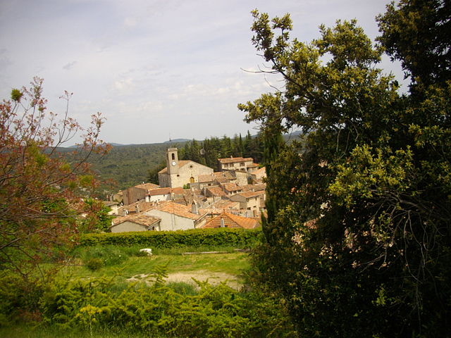

Ampus
- commune in Var, France
Ampus, a charming village in the Var department of Provence-Alpes-Côte d'Azur in southeastern France, offers beautiful hiking opportunities amid stunning natural landscapes. The region is characterized by rolling hills, vineyards, olive groves, and picturesque scenery....
- Country:

- Postal Code: 83111
- Coordinates: 43° 36' 24" N, 6° 22' 55" E


- GPS tracks (wikiloc): [Link]
- Area: 82.77 sq km
- Population: 943
- Web site: [Link]


Les Arcs
- commune in Var, France
Les Arcs, located in the Var department of the Provence-Alpes-Côte d'Azur region in southeastern France, offers a picturesque setting for hiking with its stunning landscapes, charming villages, and diverse trails. Here are some highlights and tips for hiking in this beautiful area:...
- Country:

- Postal Code: 83460
- Coordinates: 43° 27' 48" N, 6° 28' 44" E


- GPS tracks (wikiloc): [Link]
- Area: 54.26 sq km
- Population: 7143
- Web site: [Link]


Châteaudouble
- commune in Var, France
Châteaudouble is a charming village in the Var department of the Provence-Alpes-Côte d'Azur region in southeastern France. This area is known for its stunning natural landscapes, picturesque villages, and hiking opportunities....
- Country:

- Postal Code: 83300
- Coordinates: 43° 35' 51" N, 6° 27' 3" E


- GPS tracks (wikiloc): [Link]
- Area: 40.91 sq km
- Population: 466


Lorgues
- commune in Var, France
Lorgues, a picturesque village located in the Var department of the Provence-Alpes-Côte d'Azur region in southeastern France, offers several opportunities for hiking enthusiasts. The surrounding landscapes feature rolling hills, vineyards, olive groves, and dense forests, making it a beautiful backdrop for outdoor activities....
- Country:

- Postal Code: 83510
- Coordinates: 43° 29' 36" N, 6° 21' 40" E


- GPS tracks (wikiloc): [Link]
- Area: 64.37 sq km
- Population: 9042
- Web site: [Link]

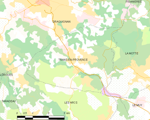
Trans-en-Provence
- commune in Var, France
Trans-en-Provence is a charming village located in the Provence-Alpes-Côte d'Azur region of southeastern France. It's known for its picturesque surroundings, rolling hills, and beautiful landscapes, making it a great base for hiking enthusiasts....
- Country:

- Postal Code: 83720
- Coordinates: 43° 30' 12" N, 6° 29' 10" E


- GPS tracks (wikiloc): [Link]
- Area: 16.99 sq km
- Population: 5694
- Web site: [Link]

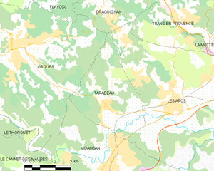
Taradeau
- commune in Var, France
Taradeau is a charming village located in the Var department of the Provence-Alpes-Côte d'Azur region in southeastern France. While it may not be as widely recognized as other hiking destinations, it offers a unique experience for hikers looking to explore the picturesque landscapes of the Provence region....
- Country:

- Postal Code: 83460
- Coordinates: 43° 27' 15" N, 6° 25' 38" E


- GPS tracks (wikiloc): [Link]
- Area: 17.31 sq km
- Population: 1811
- Web site: [Link]


Flayosc
- commune in Var, France
Flayosc is a charming village located in the Provence-Alpes-Côte d'Azur region of southeastern France, situated near the Var River and surrounded by stunning natural landscapes. The area offers numerous hiking opportunities that cater to various skill levels, from leisurely walks to more challenging trails....
- Country:

- Postal Code: 83780
- Coordinates: 43° 32' 3" N, 6° 23' 49" E


- GPS tracks (wikiloc): [Link]
- Area: 45.95 sq km
- Population: 4341
- Web site: [Link]
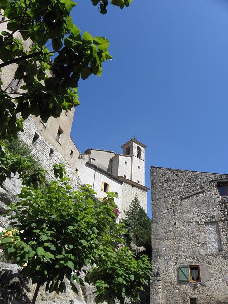

Figanières
- commune in Var, France
Figanières is a charming village located in the Var region of France, surrounded by beautiful landscapes that invite outdoor enthusiasts to explore its hiking opportunities. Here’s a brief overview of what you can expect when hiking in and around Figanières:...
- Country:

- Postal Code: 83830
- Coordinates: 43° 34' 7" N, 6° 29' 50" E


- GPS tracks (wikiloc): [Link]
- Area: 28.17 sq km
- Population: 2594
- Web site: [Link]
