Lournand (Lournand)

- commune in Saône-et-Loire, France
- Country:

- Postal Code: 71250
- Coordinates: 46° 27' 21" N, 4° 39' 1" E


- GPS tracks (wikiloc): [Link]
- Area: 11.22 sq km
- Population: 328
- Wikipedia en: wiki(en)
- Wikipedia: wiki(fr)
- Wikidata storage: Wikidata: Q1601918
- Wikipedia Commons Category: [Link]
- Wikipedia Commons Maps Category: [Link]
- Freebase ID: [/m/03qgkyr]
- Freebase ID: [/m/03qgkyr]
- GeoNames ID: Alt: [6442301]
- GeoNames ID: Alt: [6442301]
- SIREN number: [217102649]
- SIREN number: [217102649]
- BnF ID: [15273236x]
- BnF ID: [15273236x]
- PACTOLS thesaurus ID: [pcrta1NwJYXQhS]
- PACTOLS thesaurus ID: [pcrta1NwJYXQhS]
- WOEID: [12648442]
- WOEID: [12648442]
- INSEE municipality code: 71264
- INSEE municipality code: 71264
Shares border with regions:


La Vineuse
- former commune in Saône-et-Loire, France
- Country:
- Postal Code: 71250
- Coordinates: 46° 28' 16" N, 4° 35' 51" E
- GPS tracks (wikiloc): [Link]
- Area: 15.75 sq km
- Population: 287


Massilly
- commune in Saône-et-Loire, France
- Country:
- Postal Code: 71250
- Coordinates: 46° 29' 24" N, 4° 40' 16" E
- GPS tracks (wikiloc): [Link]
- Area: 5.44 sq km
- Population: 361


Cortambert
- commune in Saône-et-Loire, France
- Country:
- Postal Code: 71250
- Coordinates: 46° 28' 42" N, 4° 42' 52" E
- GPS tracks (wikiloc): [Link]
- Area: 16.02 sq km
- Population: 230


Flagy
- commune in Saône-et-Loire, France
- Country:
- Postal Code: 71250
- Coordinates: 46° 29' 58" N, 4° 38' 21" E
- GPS tracks (wikiloc): [Link]
- Area: 8.38 sq km
- Population: 170
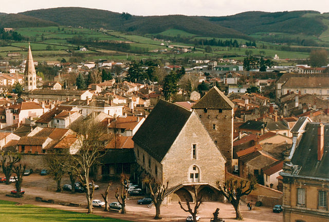

Cluny
- commune in Saône-et-Loire, France
- Country:
- Postal Code: 71250
- Coordinates: 46° 26' 4" N, 4° 39' 33" E
- GPS tracks (wikiloc): [Link]
- AboveSeaLevel: 574 м m
- Area: 23.71 sq km
- Population: 4803
- Web site: [Link]