Loutzviller (Loutzviller)

- commune in Moselle, France
- Country:

- Postal Code: 57720
- Coordinates: 49° 8' 50" N, 7° 22' 57" E


- GPS tracks (wikiloc): [Link]
- Area: 3.22 sq km
- Population: 149
- Wikipedia en: wiki(en)
- Wikipedia: wiki(fr)
- Wikidata storage: Wikidata: Q21941
- Wikipedia Commons Category: [Link]
- Freebase ID: [/m/03qf1hw]
- Freebase ID: [/m/03qf1hw]
- Freebase ID: [/m/03qf1hw]
- GeoNames ID: Alt: [6437678]
- GeoNames ID: Alt: [6437678]
- GeoNames ID: Alt: [6437678]
- SIREN number: [215704214]
- SIREN number: [215704214]
- SIREN number: [215704214]
- BnF ID: [15265926t]
- BnF ID: [15265926t]
- BnF ID: [15265926t]
- VIAF ID: Alt: [240538530]
- VIAF ID: Alt: [240538530]
- VIAF ID: Alt: [240538530]
- INSEE municipality code: 57421
- INSEE municipality code: 57421
- INSEE municipality code: 57421
Shares border with regions:


Volmunster
- commune in Moselle, France
- Country:
- Postal Code: 57720
- Coordinates: 49° 7' 18" N, 7° 21' 22" E
- GPS tracks (wikiloc): [Link]
- Area: 14.91 sq km
- Population: 811
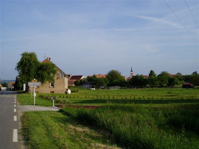

Schweyen
- commune in Moselle, France
- Country:
- Postal Code: 57720
- Coordinates: 49° 9' 31" N, 7° 23' 25" E
- GPS tracks (wikiloc): [Link]
- Area: 11.35 sq km
- Population: 319


Ormersviller
- commune in Moselle, France
- Country:
- Postal Code: 57720
- Coordinates: 49° 8' 3" N, 7° 19' 30" E
- GPS tracks (wikiloc): [Link]
- Area: 7.3 sq km
- Population: 401


Breidenbach
- commune in Moselle, France
- Country:
- Postal Code: 57720
- Coordinates: 49° 8' 10" N, 7° 25' 22" E
- GPS tracks (wikiloc): [Link]
- Area: 10.89 sq km
- Population: 335