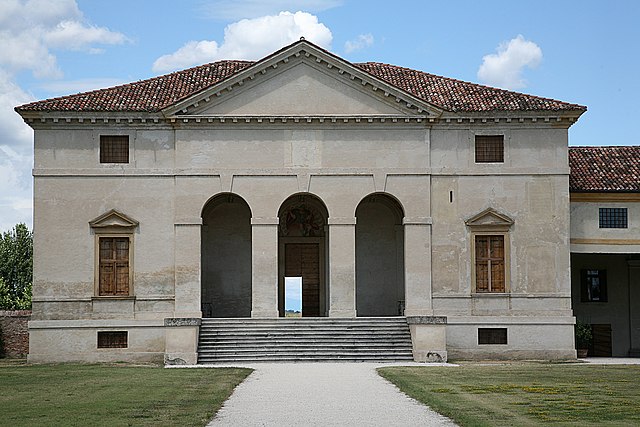
Lozzo Atestino (Lozzo Atestino)
.svg)
- Italian comune
 Hiking in Lozzo Atestino
Lozzo Atestino is a charming municipality located in the province of Vicenza, in the Veneto region of northern Italy. It is surrounded by lush landscapes and offers stunning views of the surrounding hills and mountains, making it a fantastic destination for hiking enthusiasts.
Hiking Trails
-
Monte Lozzo: This is one of the most popular hiking destinations in the area, offering a moderate trail that leads to the summit of Monte Lozzo. The views from the top are breathtaking, particularly of the surrounding valleys and the nearby Euganean Hills.
-
Senda dell’Acqua: This trail takes you through beautiful natural landscapes and offers a chance to explore streams, lush vegetation, and local wildlife. It is suitable for various hiking levels and is particularly enjoyable in the spring and fall.
-
Vigolana Path: This path offers a longer hike with more challenging sections. It leads you through forests and gives you an opportunity to explore the rich biodiversity of the region. Hikers can also enjoy a mix of historical sites along the way.
Tips for Hiking in Lozzo Atestino
-
Trail Maps: It’s recommended to carry a trail map or download offline maps on your phone. Local tourist information centers often provide maps and guidance.
-
Best Seasons: Late spring and early fall are ideal for hiking. The weather is typically mild, and you can enjoy the beauty of blooming wildflowers and autumn leaves.
-
Gear Up: Ensure you have sturdy hiking boots, weather-appropriate clothing, and plenty of water. A small first-aid kit and some snacks are also advisable.
-
Local Regulations: Always respect nature and local regulations. Stick to marked trails to protect wildlife and plant life.
-
Explore Local Culture: Don’t miss the opportunity to explore the small villages around Lozzo Atestino for a taste of local culture and cuisine.
Remember to check the weather forecast before your hike and inform someone of your planned route and estimated return time for safety. Enjoy your hiking adventure in Lozzo Atestino!
- Country:

- Postal Code: 35034
- Local Dialing Code: 0429
- Licence Plate Code: PD
- Coordinates: 45° 17' 0" N, 11° 38' 0" E


- GPS tracks (wikiloc): [Link]
- AboveSeaLevel: 19 м m
- Area: 24.07 sq km
- Population: 3095
- Web site: http://www.comune.lozzoatestino.pd.it
- Wikipedia en: wiki(en)
- Wikipedia: wiki(it)
- Wikidata storage: Wikidata: Q34461
- Wikipedia Commons Category: [Link]
- Freebase ID: [/m/0gk4nf]
- GeoNames ID: Alt: [6538336]
- VIAF ID: Alt: [246297901]
- OSM relation ID: [44570]
- WOEID: [717447]
- TGN ID: [7054519]
- UN/LOCODE: [ITL3Z]
- ISTAT ID: 028047
- Italian cadastre code: E709
Shares border with regions:
Ospedaletto Euganeo
- Italian comune
Hiking in Ospedaletto Euganeo
Ospedaletto Euganeo, located in the Euganean Hills in Italy, offers a beautiful hiking experience for nature lovers and outdoor enthusiasts. The area is characterized by its rolling hills, lush vegetation, and a range of hiking trails that cater to different skill levels....
- Country:
- Postal Code: 35045
- Local Dialing Code: 0429
- Licence Plate Code: PD
- Coordinates: 45° 13' 23" N, 11° 36' 40" E
- GPS tracks (wikiloc): [Link]
- AboveSeaLevel: 12 м m
- Area: 21.48 sq km
- Population: 5651
- Web site: [Link]
Baone
- Italian comune
Hiking in Baone
Baone, located in the Veneto region of Italy, is known for its beautiful landscapes and numerous hiking opportunities. The surrounding hills and countryside provide a serene backdrop for both casual and more experienced hikers. Here are some highlights and important information about hiking in Baone:...
- Country:
- Postal Code: 35030
- Local Dialing Code: 0429
- Licence Plate Code: PD
- Coordinates: 45° 15' 0" N, 11° 41' 0" E
- GPS tracks (wikiloc): [Link]
- AboveSeaLevel: 17 м m
- Area: 24.42 sq km
- Population: 3080
- Web site: [Link]
Cinto Euganeo
- Italian comune
Hiking in Cinto Euganeo
Cinto Euganeo, located in the Colli Euganei Regional Park in Italy, is a delightful destination for hiking enthusiasts. Known for its picturesque landscapes, rolling hills, and lush vegetation, this area offers a variety of trails that cater to different skill levels....
- Country:
- Postal Code: 35030
- Local Dialing Code: 0429
- Licence Plate Code: PD
- Coordinates: 45° 17' 0" N, 11° 40' 0" E
- GPS tracks (wikiloc): [Link]
- AboveSeaLevel: 35 м m
- Area: 19.76 sq km
- Population: 1973
- Web site: [Link]

Vò
- Italian commune
Hiking in Vò
Vò, located in the Veneto region of Italy, offers several hiking opportunities amidst beautiful landscapes and historical sites. The area is known for its rolling hills, vineyards, and charming countryside....
- Country:
- Postal Code: 35030
- Local Dialing Code: 049
- Licence Plate Code: PD
- Coordinates: 45° 20' 0" N, 11° 38' 0" E
- GPS tracks (wikiloc): [Link]
- AboveSeaLevel: 19 м m
- Area: 20.37 sq km
- Population: 3341
- Web site: [Link]

Este
- Italian comune
Hiking in Este
Este, located in the Veneto region of Italy, offers a unique blend of natural beauty and historical charm for hikers. Nestled at the foot of the Euganean Hills, Este is surrounded by stunning landscapes, vineyards, and rural scenery, making it an excellent destination for outdoor enthusiasts....
- Country:
- Postal Code: 35042
- Local Dialing Code: 0429
- Licence Plate Code: PD
- Coordinates: 45° 14' 0" N, 11° 40' 0" E
- GPS tracks (wikiloc): [Link]
- AboveSeaLevel: 15 м m
- Area: 32.81 sq km
- Population: 16364
- Web site: [Link]


Noventa Vicentina
- Italian comune
Hiking in Noventa Vicentina
Noventa Vicentina, located in the Veneto region of Italy, is not as widely known for hiking compared to other Italian destinations, but it does offer some lovely routes that allow you to explore the natural beauty and cultural richness of the area. Here are some highlights and tips for hiking in and around Noventa Vicentina:...
- Country:
- Postal Code: 36025
- Local Dialing Code: 0444
- Licence Plate Code: VI
- Coordinates: 45° 17' 0" N, 11° 32' 0" E
- GPS tracks (wikiloc): [Link]
- AboveSeaLevel: 13 м m
- Area: 22.88 sq km
- Population: 8900
- Web site: [Link]

Agugliaro
- Italian comune
Hiking in Agugliaro
Agugliaro is a charming municipality located in the Province of Vicenza, Italy. While it may not be as widely known as some other hiking destinations, it offers beautiful landscapes and opportunities for outdoor activities, especially for those looking to enjoy trails in a less commercialized setting....
- Country:
- Postal Code: 36020
- Local Dialing Code: 0444
- Licence Plate Code: VI
- Coordinates: 45° 20' 0" N, 11° 35' 0" E
- GPS tracks (wikiloc): [Link]
- AboveSeaLevel: 13 м m
- Area: 14.7 sq km
- Population: 1403
- Web site: [Link]