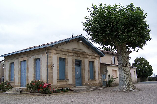
Lucmau (Lucmau)

- commune in Gironde, France
- Country:

- Postal Code: 33840
- Coordinates: 44° 20' 31" N, 0° 18' 27" E


- GPS tracks (wikiloc): [Link]
- Area: 66.73 sq km
- Population: 243
- Web site: http://www.cc-villandraut.fr/index.php?page=commune&id=3
- Wikipedia en: wiki(en)
- Wikipedia: wiki(fr)
- Wikidata storage: Wikidata: Q1004682
- Wikipedia Commons Category: [Link]
- Freebase ID: [/m/03nr_9v]
- GeoNames ID: Alt: [2997212]
- SIREN number: [213302557]
- BnF ID: [15256307x]
- INSEE municipality code: 33255
Shares border with regions:


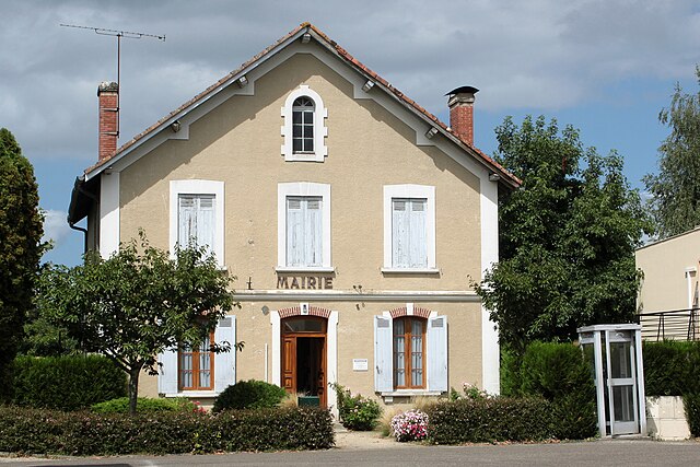
Préchac
- commune in Gironde, France
- Country:
- Postal Code: 33730
- Coordinates: 44° 23' 59" N, 0° 21' 12" E
- GPS tracks (wikiloc): [Link]
- Area: 63.87 sq km
- Population: 1024
- Web site: [Link]


Pompéjac
- commune in Gironde, France
- Country:
- Postal Code: 33730
- Coordinates: 44° 24' 9" N, 0° 17' 27" E
- GPS tracks (wikiloc): [Link]
- Area: 9.74 sq km
- Population: 255


Captieux
- commune in Gironde, France
- Country:
- Postal Code: 33840
- Coordinates: 44° 17' 30" N, 0° 15' 36" E
- GPS tracks (wikiloc): [Link]
- Area: 119.33 sq km
- Population: 1268
- Web site: [Link]

Bernos-Beaulac
- commune in Gironde, France
- Country:
- Postal Code: 33430
- Coordinates: 44° 22' 48" N, 0° 15' 30" E
- GPS tracks (wikiloc): [Link]
- Area: 36.8 sq km
- Population: 1139
- Web site: [Link]
Callen
- commune in Landes, France
- Country:
- Postal Code: 40430
- Coordinates: 44° 17' 54" N, 0° 28' 34" E
- GPS tracks (wikiloc): [Link]
- Area: 87.86 sq km
- Population: 147
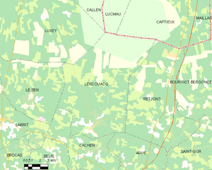
Lencouacq
- commune in Landes, France
- Country:
- Postal Code: 40120
- Coordinates: 44° 5' 56" N, 0° 24' 16" E
- GPS tracks (wikiloc): [Link]
- Area: 96.62 sq km
- Population: 395


Cazalis
- commune in Gironde, France
- Country:
- Postal Code: 33113
- Coordinates: 44° 20' 31" N, 0° 22' 48" E
- GPS tracks (wikiloc): [Link]
- AboveSeaLevel: 102 м m
- Area: 46.81 sq km
- Population: 244
- Web site: [Link]