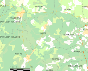
canton of Villandraut (canton de Villandraut)
- canton of France (until March 2015)
- Country:

- Capital: Villandraut
- Coordinates: 44° 24' 18" N, 0° 21' 17" E


- GPS tracks (wikiloc): [Link]
- Wikidata storage: Wikidata: Q1485044
- INSEE canton code: [3350]
Includes regions:


Préchac
- commune in Gironde, France
- Country:

- Postal Code: 33730
- Coordinates: 44° 23' 59" N, 0° 21' 12" E


- GPS tracks (wikiloc): [Link]
- Area: 63.87 sq km
- Population: 1024
- Web site: [Link]


Lucmau
- commune in Gironde, France
- Country:

- Postal Code: 33840
- Coordinates: 44° 20' 31" N, 0° 18' 27" E


- GPS tracks (wikiloc): [Link]
- Area: 66.73 sq km
- Population: 243
- Web site: [Link]


Noaillan
- commune in Gironde, France
- Country:

- Postal Code: 33730
- Coordinates: 44° 28' 50" N, 0° 21' 59" E


- GPS tracks (wikiloc): [Link]
- Area: 31.8 sq km
- Population: 1674
- Web site: [Link]


Pompéjac
- commune in Gironde, France
- Country:

- Postal Code: 33730
- Coordinates: 44° 24' 9" N, 0° 17' 27" E


- GPS tracks (wikiloc): [Link]
- Area: 9.74 sq km
- Population: 255


Villandraut
- commune in Gironde, France
- Country:

- Postal Code: 33730
- Coordinates: 44° 27' 26" N, 0° 22' 20" E


- GPS tracks (wikiloc): [Link]
- Area: 12.58 sq km
- Population: 1012
- Web site: [Link]


Uzeste
- commune in Gironde, France
- Country:

- Postal Code: 33730
- Coordinates: 44° 26' 29" N, 0° 19' 25" E


- GPS tracks (wikiloc): [Link]
- Area: 26.05 sq km
- Population: 387


Bourideys
- commune in Gironde, France
- Country:

- Postal Code: 33113
- Coordinates: 44° 22' 5" N, 0° 27' 13" E


- GPS tracks (wikiloc): [Link]
- Area: 48.44 sq km
- Population: 75


Cazalis
- commune in Gironde, France
- Country:

- Postal Code: 33113
- Coordinates: 44° 20' 31" N, 0° 22' 48" E


- GPS tracks (wikiloc): [Link]
- AboveSeaLevel: 102 м m
- Area: 46.81 sq km
- Population: 244
- Web site: [Link]