Lugagnan (Lugagnan)

- commune in Hautes-Pyrénées, France
- Country:

- Postal Code: 65100
- Coordinates: 43° 3' 43" N, 0° 2' 17" E


- GPS tracks (wikiloc): [Link]
- Area: 0.75 sq km
- Population: 144
- Wikipedia en: wiki(en)
- Wikipedia: wiki(fr)
- Wikidata storage: Wikidata: Q655766
- Wikipedia Commons Category: [Link]
- Freebase ID: [/m/03nv613]
- Freebase ID: [/m/03nv613]
- GeoNames ID: Alt: [6440816]
- GeoNames ID: Alt: [6440816]
- SIREN number: [216502914]
- SIREN number: [216502914]
- BnF ID: [15270671t]
- BnF ID: [15270671t]
- INSEE municipality code: 65291
- INSEE municipality code: 65291
Shares border with regions:


Aspin-en-Lavedan
- commune in Hautes-Pyrénées, France
- Country:
- Postal Code: 65100
- Coordinates: 43° 4' 30" N, 0° 2' 49" E
- GPS tracks (wikiloc): [Link]
- Area: 1.77 sq km
- Population: 294


Ger
- commune in Hautes-Pyrénées, France
- Country:
- Postal Code: 65100
- Coordinates: 43° 3' 16" N, 0° 2' 23" E
- GPS tracks (wikiloc): [Link]
- Area: 1.94 sq km
- Population: 179


Saint-Créac
- commune in Hautes-Pyrénées, France
- Country:
- Postal Code: 65100
- Coordinates: 43° 3' 32" N, 0° 1' 30" E
- GPS tracks (wikiloc): [Link]
- Area: 2.2 sq km
- Population: 94
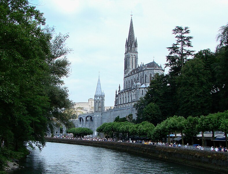

Lourdes
- commune in Hautes-Pyrénées, France
- Country:
- Postal Code: 65100
- Coordinates: 43° 5' 42" N, 0° 2' 43" E
- GPS tracks (wikiloc): [Link]
- AboveSeaLevel: 420 м m
- Area: 36.94 sq km
- Population: 13946
- Web site: [Link]


Viger
- commune in Hautes-Pyrénées, France
- Country:
- Postal Code: 65100
- Coordinates: 43° 3' 44" N, 0° 2' 55" E
- GPS tracks (wikiloc): [Link]
- Area: 3.37 sq km
- Population: 133