Lusanger (Lusanger)

- commune in Loire-Atlantique, France
- Country:

- Postal Code: 44590
- Coordinates: 47° 40' 51" N, 1° 35' 18" E


- GPS tracks (wikiloc): [Link]
- Area: 35.38 sq km
- Population: 1027
- Web site: http://www.mairie-lusanger.fr
- Wikipedia en: wiki(en)
- Wikipedia: wiki(fr)
- Wikidata storage: Wikidata: Q1165168
- Wikipedia Commons Category: [Link]
- Freebase ID: [/m/03nwcp6]
- Freebase ID: [/m/03nwcp6]
- GeoNames ID: Alt: [2997064]
- GeoNames ID: Alt: [2997064]
- SIREN number: [214400863]
- SIREN number: [214400863]
- BnF ID: [152602558]
- BnF ID: [152602558]
- INSEE municipality code: 44086
- INSEE municipality code: 44086
Shares border with regions:


Mouais
- commune in Loire-Atlantique, France
- Country:
- Postal Code: 44590
- Coordinates: 47° 41' 44" N, 1° 38' 40" E
- GPS tracks (wikiloc): [Link]
- Area: 9.93 sq km
- Population: 384
- Web site: [Link]

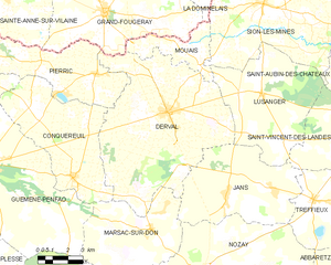
Derval
- commune in Loire-Atlantique, France
- Country:
- Postal Code: 44590
- Coordinates: 47° 40' 3" N, 1° 40' 17" E
- GPS tracks (wikiloc): [Link]
- Area: 63.51 sq km
- Population: 3487
- Web site: [Link]

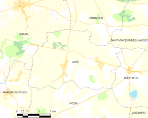
Jans
- commune in Loire-Atlantique, France
- Country:
- Postal Code: 44170
- Coordinates: 47° 37' 16" N, 1° 36' 50" E
- GPS tracks (wikiloc): [Link]
- Area: 33.21 sq km
- Population: 1314
- Web site: [Link]


Saint-Vincent-des-Landes
- commune in Loire-Atlantique, France
- Country:
- Postal Code: 44590
- Coordinates: 47° 39' 20" N, 1° 29' 48" E
- GPS tracks (wikiloc): [Link]
- Area: 33.7 sq km
- Population: 1519
- Web site: [Link]


Sion-les-Mines
- commune in Loire-Atlantique, France
- Country:
- Postal Code: 44590
- Coordinates: 47° 44' 6" N, 1° 35' 31" E
- GPS tracks (wikiloc): [Link]
- Area: 54.71 sq km
- Population: 1612
- Web site: [Link]