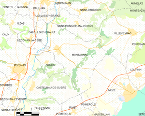
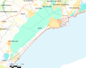
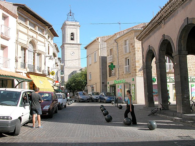
Mèze (Mèze)

- commune in Hérault, France
- Country:

- Postal Code: 34140
- Coordinates: 43° 25' 36" N, 3° 36' 19" E


- GPS tracks (wikiloc): [Link]
- AboveSeaLevel: 20 м m
- Area: 34.59 sq km
- Population: 11537
- Web site: http://www.ville-meze.fr
- Wikipedia en: wiki(en)
- Wikipedia: wiki(fr)
- Wikidata storage: Wikidata: Q385616
- Wikipedia Commons Gallery: [Link]
- Wikipedia Commons Category: [Link]
- Freebase ID: [/m/02r61pc]
- Freebase ID: [/m/02r61pc]
- Freebase ID: [/m/02r61pc]
- GeoNames ID: Alt: [2994043]
- GeoNames ID: Alt: [2994043]
- GeoNames ID: Alt: [2994043]
- SIREN number: [213401573]
- SIREN number: [213401573]
- SIREN number: [213401573]
- BnF ID: [15256758x]
- BnF ID: [15256758x]
- BnF ID: [15256758x]
- VIAF ID: Alt: [126879707]
- VIAF ID: Alt: [126879707]
- VIAF ID: Alt: [126879707]
- Library of Congress authority ID: Alt: [n82105491]
- Library of Congress authority ID: Alt: [n82105491]
- Library of Congress authority ID: Alt: [n82105491]
- EMLO location ID: [b7ea831c-17c4-4083-8275-f313fd24ac15]
- EMLO location ID: [b7ea831c-17c4-4083-8275-f313fd24ac15]
- EMLO location ID: [b7ea831c-17c4-4083-8275-f313fd24ac15]
- Digital Atlas of the Roman Empire ID: [12483]
- Digital Atlas of the Roman Empire ID: [12483]
- Digital Atlas of the Roman Empire ID: [12483]
- Pleiades ID: [148133]
- Pleiades ID: [148133]
- Pleiades ID: [148133]
- INSEE municipality code: 34157
- INSEE municipality code: 34157
- INSEE municipality code: 34157
Shares border with regions:

Montagnac
- commune in Hérault, France
- Country:
- Postal Code: 34530
- Coordinates: 43° 28' 51" N, 3° 28' 59" E
- GPS tracks (wikiloc): [Link]
- Area: 39.81 sq km
- Population: 4257


Villeveyrac
- commune in Hérault, France
- Country:
- Postal Code: 34560
- Local Dialing Code: 467
- Coordinates: 43° 30' 4" N, 3° 36' 26" E
- GPS tracks (wikiloc): [Link]
- Area: 37.12 sq km
- Population: 3777
- Web site: [Link]

Sète
- commune in Hérault, France
- Country:
- Postal Code: 34200
- Coordinates: 43° 24' 16" N, 3° 41' 48" E
- GPS tracks (wikiloc): [Link]
- Area: 24.21 sq km
- Population: 43620
- Web site: [Link]


Loupian
- commune in Hérault, France
- Country:
- Postal Code: 34140
- Coordinates: 43° 27' 0" N, 3° 36' 50" E
- GPS tracks (wikiloc): [Link]
- AboveSeaLevel: 8 м m
- Area: 16 sq km
- Population: 2161


Pomérols
- commune in Hérault, France
- Country:
- Postal Code: 34810
- Coordinates: 43° 23' 27" N, 3° 29' 55" E
- GPS tracks (wikiloc): [Link]
- Area: 11.01 sq km
- Population: 2243

Marseillan
- commune in Hérault, France
- Country:
- Postal Code: 34340
- Coordinates: 43° 21' 23" N, 3° 31' 40" E
- GPS tracks (wikiloc): [Link]
- Area: 51.71 sq km
- Population: 7808
- Web site: [Link]