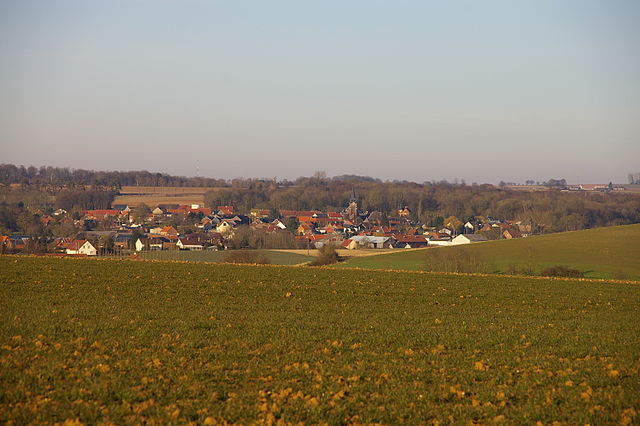
Méaulte (Méaulte)

- commune in Somme, France
- Country:

- Postal Code: 80810
- Coordinates: 49° 58' 54" N, 2° 39' 36" E


- GPS tracks (wikiloc): [Link]
- Area: 10.75 sq km
- Population: 1278
- Web site: http://meaulte.free.fr
- Wikipedia en: wiki(en)
- Wikipedia: wiki(fr)
- Wikidata storage: Wikidata: Q397415
- Wikipedia Commons Category: [Link]
- Freebase ID: [/m/03qmq3d]
- GeoNames ID: Alt: [2994803]
- SIREN number: [218004968]
- BnF ID: [15277001p]
- VIAF ID: Alt: [127994788]
- Library of Congress authority ID: Alt: [n94000765]
- INSEE municipality code: 80523
Shares border with regions:


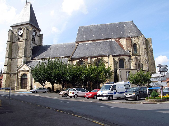
Bécordel-Bécourt
- commune in Somme, France
- Country:
- Postal Code: 80300
- Coordinates: 49° 59' 23" N, 2° 41' 8" E
- GPS tracks (wikiloc): [Link]
- Area: 3.57 sq km
- Population: 162
- Web site: [Link]


Étinehem
- former commune in Somme, France
- Country:
- Postal Code: 80340
- Coordinates: 49° 55' 41" N, 2° 41' 23" E
- GPS tracks (wikiloc): [Link]
- Area: 11.08 sq km
- Population: 376

Fricourt
- commune in Somme, France
- Country:
- Postal Code: 80300
- Coordinates: 49° 59' 53" N, 2° 42' 54" E
- GPS tracks (wikiloc): [Link]
- Area: 11.3 sq km
- Population: 499
- Web site: [Link]

Bray-sur-Somme
- commune in Somme, France
- Country:
- Postal Code: 80340
- Coordinates: 49° 56' 25" N, 2° 43' 3" E
- GPS tracks (wikiloc): [Link]
- Area: 16.81 sq km
- Population: 1248


Albert
- commune in Somme, France
- Country:
- Postal Code: 80300
- Coordinates: 50° 0' 7" N, 2° 39' 8" E
- GPS tracks (wikiloc): [Link]
- AboveSeaLevel: 67 м m
- Area: 13.8 sq km
- Population: 9931
- Web site: [Link]


Ville-sur-Ancre
- commune in Somme, France
- Country:
- Postal Code: 80300
- Coordinates: 49° 57' 44" N, 2° 36' 44" E
- GPS tracks (wikiloc): [Link]
- Area: 5.95 sq km
- Population: 268


Morlancourt
- commune in Somme, France
- Country:
- Postal Code: 80300
- Coordinates: 49° 57' 3" N, 2° 37' 44" E
- GPS tracks (wikiloc): [Link]
- Area: 11.87 sq km
- Population: 372


Dernancourt
- commune in Somme, France
- Country:
- Postal Code: 80300
- Coordinates: 49° 58' 27" N, 2° 37' 51" E
- GPS tracks (wikiloc): [Link]
- Area: 6.63 sq km
- Population: 504
- Web site: [Link]