Méréville (Méréville)

- commune in Essonne, France
- Country:

- Postal Code: 91660
- Coordinates: 48° 18' 54" N, 2° 5' 11" E


- GPS tracks (wikiloc): [Link]
- Area: 26.99 sq km
- Population: 3164
- Web site: http://www.commune-de-mereville.com
- Wikipedia en: wiki(en)
- Wikipedia: wiki(fr)
- Wikidata storage: Wikidata: Q257045
- Wikipedia Commons Category: [Link]
- Freebase ID: [/m/03mg_d0]
- Freebase ID: [/m/03mg_d0]
- GeoNames ID: Alt: [6446168]
- GeoNames ID: Alt: [6446168]
- SIREN number: [219103900]
- SIREN number: [219103900]
- BnF ID: [152801573]
- BnF ID: [152801573]
- VIAF ID: Alt: [265931833]
- VIAF ID: Alt: [265931833]
- Library of Congress authority ID: Alt: [n90619581]
- Library of Congress authority ID: Alt: [n90619581]
- PACTOLS thesaurus ID: [pcrtZiWmE2s0uz]
- PACTOLS thesaurus ID: [pcrtZiWmE2s0uz]
- INSEE municipality code: 91390
- INSEE municipality code: 91390
Shares border with regions:

Estouches
- commune in Essonne, France
- Country:
- Postal Code: 91660
- Coordinates: 48° 18' 10" N, 2° 8' 1" E
- GPS tracks (wikiloc): [Link]
- Area: 5.98 sq km
- Population: 246
- Web site: [Link]

Saint-Cyr-la-Rivière
- commune in Essonne, France
- Country:
- Postal Code: 91690
- Coordinates: 48° 21' 23" N, 2° 8' 52" E
- GPS tracks (wikiloc): [Link]
- Area: 8.81 sq km
- Population: 510
- Web site: [Link]

Guillerval
- commune in Essonne, France
- Country:
- Postal Code: 91690
- Coordinates: 48° 21' 53" N, 2° 6' 6" E
- GPS tracks (wikiloc): [Link]
- Area: 17.3 sq km
- Population: 814
- Web site: [Link]

Saclas
- commune in Essonne, France
- Country:
- Postal Code: 91690
- Coordinates: 48° 21' 35" N, 2° 7' 31" E
- GPS tracks (wikiloc): [Link]
- Area: 13.66 sq km
- Population: 1782
- Web site: [Link]
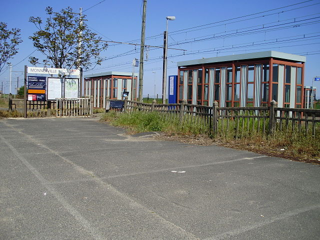
Monnerville
- commune in Essonne, France
- Country:
- Postal Code: 91930
- Coordinates: 48° 20' 49" N, 2° 2' 40" E
- GPS tracks (wikiloc): [Link]
- Area: 8.31 sq km
- Population: 394
- Web site: [Link]

Angerville
- commune in Essonne, France
- Country:
- Postal Code: 91670
- Coordinates: 48° 18' 37" N, 1° 59' 54" E
- GPS tracks (wikiloc): [Link]
- Area: 25.83 sq km
- Population: 4193
- Web site: [Link]


Autruy-sur-Juine
- commune in Loiret, France
- Country:
- Postal Code: 45480
- Coordinates: 48° 16' 32" N, 2° 6' 7" E
- GPS tracks (wikiloc): [Link]
- Area: 27.11 sq km
- Population: 685
- Web site: [Link]