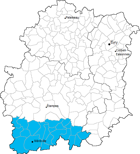
arrondissement of Étampes (arrondissement d'Étampes)

- arrondissement of France
- Country:

- Capital: Étampes
- Coordinates: 48° 26' 12" N, 2° 9' 54" E


- GPS tracks (wikiloc): [Link]
- Area: 876 sq km
- Population: 130189
- Wikipedia en: wiki(en)
- Wikipedia: wiki(fr)
- Wikidata storage: Wikidata: Q702862
- Freebase ID: [/m/095361]
- GeoNames ID: Alt: [6457365]
- INSEE arrondissement code: [911]
Includes regions:

canton of Saint-Chéron
- canton of France (until March 2015)
- Country:
- Capital: Saint-Chéron
- Coordinates: 48° 33' 46" N, 2° 7' 43" E
- GPS tracks (wikiloc): [Link]


canton of Étampes
- canton of France
- Country:
- Capital: Étampes
- Coordinates: 48° 26' 0" N, 2° 9' 42" E
- GPS tracks (wikiloc): [Link]
- Population: 62596

Étampes
- commune in Essonne, France
- Country:
- Postal Code: 91150
- Coordinates: 48° 26' 6" N, 2° 9' 44" E
- GPS tracks (wikiloc): [Link]
- Area: 40.92 sq km
- Population: 24271
- Web site: [Link]


canton of La Ferté-Alais
- canton of France (until March 2015)
- Country:
- Capital: La Ferté-Alais
- Coordinates: 48° 28' 13" N, 2° 21' 2" E
- GPS tracks (wikiloc): [Link]


canton of Dourdan
- canton of France
- Country:
- Capital: Dourdan
- Coordinates: 48° 31' 44" N, 2° 0' 56" E
- GPS tracks (wikiloc): [Link]
- Population: 66175