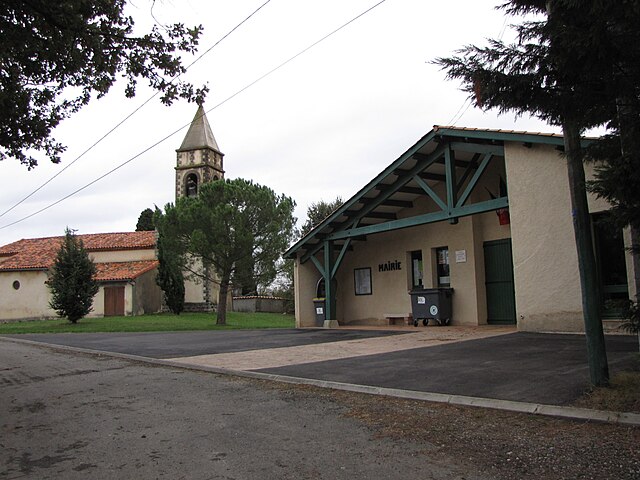
Méras (Méras)
- commune in Ariège, France
- Country:

- Postal Code: 09350
- Coordinates: 43° 10' 55" N, 1° 18' 41" E


- GPS tracks (wikiloc): [Link]
- AboveSeaLevel: 329 м m
- Area: 3.69 sq km
- Population: 104
- Wikipedia en: wiki(en)
- Wikipedia: wiki(fr)
- Wikidata storage: Wikidata: Q1143933
- Wikipedia Commons Category: [Link]
- Freebase ID: [/m/03m8n4s]
- GeoNames ID: Alt: [6426243]
- SIREN number: [210901864]
- INSEE municipality code: 09186
Shares border with regions:

Castex
- commune in Ariège, France
- Country:
- Postal Code: 09350
- Coordinates: 43° 9' 58" N, 1° 18' 46" E
- GPS tracks (wikiloc): [Link]
- Area: 7.03 sq km
- Population: 93
Loubaut
- commune in Ariège, France
- Country:
- Postal Code: 09350
- Coordinates: 43° 11' 19" N, 1° 17' 7" E
- GPS tracks (wikiloc): [Link]
- Area: 2.39 sq km
- Population: 28
- Web site: [Link]


Sieuras
- commune in Ariège, France
- Country:
- Postal Code: 09130
- Coordinates: 43° 11' 2" N, 1° 20' 20" E
- GPS tracks (wikiloc): [Link]
- Area: 7.63 sq km
- Population: 85


Latour
- commune in Haute-Garonne, France
- Country:
- Postal Code: 31310
- Coordinates: 43° 12' 2" N, 1° 16' 51" E
- GPS tracks (wikiloc): [Link]
- Area: 6.24 sq km
- Population: 75

Lapeyrère
- commune in Haute-Garonne, France
- Country:
- Postal Code: 31310
- Coordinates: 43° 12' 23" N, 1° 18' 53" E
- GPS tracks (wikiloc): [Link]
- AboveSeaLevel: 395 м m
- Area: 6.3 sq km
- Population: 69
La Bastide-de-Besplas
- commune in Ariège, France
- Country:
- Postal Code: 09350
- Coordinates: 43° 10' 0" N, 1° 16' 29" E
- GPS tracks (wikiloc): [Link]
- Area: 10.22 sq km
- Population: 379
- Web site: [Link]