Mûr-de-Bretagne (Mûr-de-Bretagne)

- former commune in Côtes-d'Armor, France
- Country:

- Postal Code: 22530
- Coordinates: 48° 12' 1" N, 2° 59' 10" E


- GPS tracks (wikiloc): [Link]
- Area: 29.8 sq km
- Population: 2019
- Wikipedia en: wiki(en)
- Wikipedia: wiki(fr)
- Wikidata storage: Wikidata: Q274145
- Wikipedia Commons Category: [Link]
- Freebase ID: [/m/03hkzmt]
- GeoNames ID: Alt: [6614358]
- BnF ID: [15251157q]
- VIAF ID: Alt: [157505169]
- Library of Congress authority ID: Alt: [no2009057358]
- PACTOLS thesaurus ID: [pcrt7tPMgbHJpF]
- INSEE municipality code: 22158
Shares border with regions:


Saint-Gilles-Vieux-Marché
- commune in Côtes-d'Armor, France
- Country:
- Postal Code: 22530
- Coordinates: 48° 14' 35" N, 2° 58' 27" E
- GPS tracks (wikiloc): [Link]
- AboveSeaLevel: 200 м m
- Area: 21.95 sq km
- Population: 343
- Web site: [Link]


Saint-Connec
- commune in Côtes-d'Armor, France
- Country:
- Postal Code: 22530
- Coordinates: 48° 10' 39" N, 2° 55' 17" E
- GPS tracks (wikiloc): [Link]
- Area: 10.93 sq km
- Population: 254
- Web site: [Link]


Saint-Guen
- former commune in Côtes-d'Armor, France
- Country:
- Postal Code: 22530
- Coordinates: 48° 13' 2" N, 2° 56' 12" E
- GPS tracks (wikiloc): [Link]
- Area: 17.95 sq km
- Population: 441

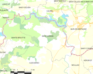
Saint-Aignan
- commune in Morbihan, France
- Country:
- Postal Code: 56480
- Coordinates: 48° 10' 53" N, 3° 0' 50" E
- GPS tracks (wikiloc): [Link]
- Area: 27.33 sq km
- Population: 593
- Web site: [Link]


Neulliac
- commune in Morbihan, France
- Country:
- Postal Code: 56300
- Coordinates: 48° 7' 40" N, 2° 58' 56" E
- GPS tracks (wikiloc): [Link]
- Area: 30.99 sq km
- Population: 1432
- Web site: [Link]

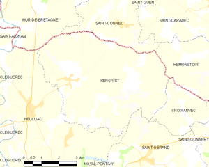
Kergrist
- commune in Morbihan, France
- Country:
- Postal Code: 56300
- Coordinates: 48° 8' 47" N, 2° 57' 22" E
- GPS tracks (wikiloc): [Link]
- Area: 29.66 sq km
- Population: 717


Caurel
- commune in Côtes-d'Armor, France
- Country:
- Postal Code: 22530
- Coordinates: 48° 12' 58" N, 3° 2' 18" E
- GPS tracks (wikiloc): [Link]
- Area: 11.65 sq km
- Population: 359