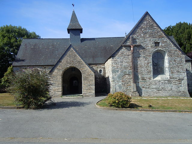
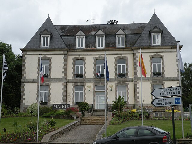
Saint-Aignan (Saint-Aignan)

- commune in Morbihan, France
- Country:

- Postal Code: 56480
- Coordinates: 48° 10' 53" N, 3° 0' 50" E


- GPS tracks (wikiloc): [Link]
- Area: 27.33 sq km
- Population: 593
- Web site: http://www.saint-aignan56.fr
- Wikipedia en: wiki(en)
- Wikipedia: wiki(fr)
- Wikidata storage: Wikidata: Q127505
- Wikipedia Commons Category: [Link]
- Freebase ID: [/m/03cbyzz]
- GeoNames ID: Alt: [6437367]
- SIREN number: [215602038]
- BnF ID: [152654520]
- INSEE municipality code: 56203
Shares border with regions:


Saint-Gelven
- former commune in Côtes-d'Armor, France
- Country:
- Postal Code: 22570
- Coordinates: 48° 13' 35" N, 3° 5' 50" E
- GPS tracks (wikiloc): [Link]
- Area: 17.48 sq km
- Population: 319

Sainte-Brigitte
- commune in Morbihan, France
- Country:
- Postal Code: 56480
- Coordinates: 48° 9' 45" N, 3° 7' 45" E
- GPS tracks (wikiloc): [Link]
- AboveSeaLevel: 220 м m
- Area: 17.74 sq km
- Population: 179
- Web site: [Link]

Mûr-de-Bretagne
- former commune in Côtes-d'Armor, France
- Country:
- Postal Code: 22530
- Coordinates: 48° 12' 1" N, 2° 59' 10" E
- GPS tracks (wikiloc): [Link]
- Area: 29.8 sq km
- Population: 2019


Neulliac
- commune in Morbihan, France
- Country:
- Postal Code: 56300
- Coordinates: 48° 7' 40" N, 2° 58' 56" E
- GPS tracks (wikiloc): [Link]
- Area: 30.99 sq km
- Population: 1432
- Web site: [Link]


Cléguérec
- commune in Morbihan, France
- Country:
- Postal Code: 56480
- Coordinates: 48° 7' 27" N, 3° 4' 14" E
- GPS tracks (wikiloc): [Link]
- Area: 62.99 sq km
- Population: 2930
- Web site: [Link]


Caurel
- commune in Côtes-d'Armor, France
- Country:
- Postal Code: 22530
- Coordinates: 48° 12' 58" N, 3° 2' 18" E
- GPS tracks (wikiloc): [Link]
- Area: 11.65 sq km
- Population: 359