
Mainz (Mainz)


- capital of the German state of Rhineland-Palatinate, Germany
 Hiking in Mainz
Mainz, the capital of the Rhineland-Palatinate region in Germany, offers a variety of hiking opportunities, both within the city and in the surrounding countryside. Here are some aspects to consider when hiking in and around Mainz:
1.
- Rheinpromenade: The Rhine River promenade in Mainz is an excellent spot for leisurely walks. You can enjoy scenic views of the river and the surrounding areas.
- Cultural Sites Walk: Explore the city’s historical sites such as the Mainz Cathedral, Gutenberg Museum, and Roman remains. A walking tour can combine cultural heritage with light hiking.
2.
- Rheinsteig Trail: This long-distance hiking trail runs along the Rhine River from Bonn to Wiesbaden, passing through Mainz. You can hike sections of this trail, enjoying beautiful landscapes, vineyards, and charming villages along the way.
- Niersteiner Weg: This is another picturesque trail that extends near the Rhine, offering views of the river and vineyards. It’s a great choice for a day hike.
3.
- Consider joining local hiking clubs or guided tours that might offer themed hikes, such as wine-tasting hikes through the vineyards or historical walks.
4.
- Mainz Nature Reserve: Located on the outskirts, this area offers various trails and the opportunity to observe local wildlife, including numerous bird species.
5.
- The surrounding region is famous for its vineyards. You can take hikes through these vineyards and enjoy wine tasting at local wineries.
6.
- Weather: Be aware of the weather as it can change, especially along the river. Dress in layers and wear appropriate hiking footwear.
- Routes: Always check trail conditions and maps before heading out. Some trails may be better marked than others.
- Local Regulations: Respect local guidelines and regulations, especially in protected areas.
7.
- If you're willing to travel a bit further, the nearby Taunus mountains or the Pfälzerwald (Palatinate Forest) offer more challenging trails with varied terrain.
Mainz offers a blend of urban and natural hiking experiences, making it a great starting point for outdoor enthusiasts looking to explore this beautiful region of Germany.
- Country:

- Postal Code: 55001–55131
- Local Dialing Code: 06136; 06131
- Licence Plate Code: MZ
- Coordinates: 50° 0' 0" N, 8° 16' 0" E


- GPS tracks (wikiloc): [Link]
- AboveSeaLevel: 89 м m
- Area: 97.73 sq km
- Population: 213528
- Web site: https://www.mainz.de/
- Wikipedia en: wiki(en)
- Wikipedia: wiki(de)
- Wikidata storage: Wikidata: Q1720
- Wikipedia Commons Category: [Link]
- Wikipedia Commons Maps Category: [Link]
- Freebase ID: [/m/054y8]
- GeoNames ID: Alt: [2874225]
- BnF ID: [11864862n]
- VIAF ID: Alt: [155482669]
- OSM relation ID: [62630]
- GND ID: Alt: [4037124-4]
- archINFORM location ID: [433]
- Library of Congress authority ID: Alt: [n79091241]
- MusicBrainz area ID: [b654bbfe-4c42-48c1-8c4f-6e66df7c520a]
- Quora topic ID: [Mainz-Germany]
- TGN ID: [7004449]
- SUDOC authorities ID: [026392445]
- Encyclopædia Britannica Online ID: [place/Mainz]
- Encyclopædia Universalis ID: [mayence]
- HDS ID: [6633]
- EMLO location ID: [131a8871-513c-4a7d-b374-1ae3ddcac060]
- Facebook Places ID: [112084802143084]
- Great Russian Encyclopedia Online ID: [2164261]
- ISNI: Alt: [0000 0001 2364 6857]
- NKCR AUT ID: [ge130057]
- DMOZ ID: Alt: [Regional/Europe/Germany/States/Rhineland-Palatinate/Localities/Mainz/]
- National Library of Israel ID: [000976435]
- NUTS code: [DEB35]
- YSO ID: [162942]
- Nomisma ID: [mogontiacum]
- Klexikon article ID: [Mainz]
- FAST ID: [1312353]
- Catholic Encyclopedia ID: [09550a]
- German municipality key: 07315000
- US National Archives Identifier: 10046305
- German district key: 07315
Includes regions:
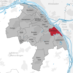
Mainz-Oberstadt
- human settlement in Germany
Hiking in Mainz-Oberstadt
Mainz-Oberstadt is an appealing area for hiking, offering a combination of urban green spaces, scenic views, and the natural beauty of the surrounding landscapes. Here are some highlights and tips for hiking in and around Mainz-Oberstadt:...
- Country:
- Coordinates: 49° 59' 23" N, 8° 15' 54" E
- GPS tracks (wikiloc): [Link]
- AboveSeaLevel: 87 м m
- Area: 5.868 sq km
Mainz-Hechtsheim
- human settlement in Germany
Hiking in Mainz-Hechtsheim
Mainz-Hechtsheim, a district in the city of Mainz in Germany, offers a variety of hiking opportunities that allow you to enjoy the natural beauty of the region. Located near the Rhine River and surrounded by vineyards and wooded areas, Hechtsheim is an excellent starting point for various hiking trails....
- Country:
- Coordinates: 49° 57' 37" N, 8° 16' 49" E
- GPS tracks (wikiloc): [Link]
- AboveSeaLevel: 187 м m
- Area: 14.043 sq km
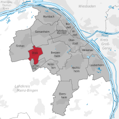
Finthen
- human settlement in Germany
Hiking in Finthen
Hiking in Mainz-Finthen, a district in the city of Mainz in Germany, offers a fantastic blend of nature, culture, and scenic views. Here are some key points to consider when hiking in and around Mainz-Finthen:...
- Country:
- Coordinates: 49° 59' 10" N, 8° 10' 30" E
- GPS tracks (wikiloc): [Link]
- Area: 11.061 sq km
Mainz-Marienborn
- human settlement in Germany
Hiking in Mainz-Marienborn
Mainz-Marienborn is a lovely area located in the outskirts of Mainz, Germany, and is known for its scenic landscapes and accessible hiking trails. Here’s what you need to know about hiking in this region:...
- Country:
- Coordinates: 49° 57' 39" N, 8° 13' 46" E
- GPS tracks (wikiloc): [Link]
- Area: 3.015 sq km
Ebersheim
- borough of Mainz, Rheinland-Pfalz, Germany
Hiking in Ebersheim
Mainz-Ebersheim, a charming district located in the outskirts of Mainz, Germany, offers several opportunities for hiking enthusiasts to explore its scenic landscapes. The area is characterized by its picturesque vineyards, lush fields, and gentle hills, making it an ideal environment for both leisurely walks and more challenging hikes....
- Country:
- Postal Code: 55129
- Coordinates: 49° 54' 45" N, 8° 14' 45" E
- GPS tracks (wikiloc): [Link]
- AboveSeaLevel: 245 м m
- Area: 9.833 sq km

Mainz-Bretzenheim
- human settlement in Germany
Hiking in Mainz-Bretzenheim
Mainz-Bretzenheim, a district of Mainz in Germany, offers some pleasant hiking opportunities, particularly through its natural areas and nearby trails. Although it's not as mountainous as other regions, hikers can enjoy beautiful landscapes, vineyards, and the picturesque scenery typical of the Rheinhessen area....
- Country:
- Coordinates: 49° 58' 50" N, 8° 14' 30" E
- GPS tracks (wikiloc): [Link]
- AboveSeaLevel: 121 м m
- Area: 10.651 sq km
Mainz-Lerchenberg
- municipal district in Lerchenberg
Hiking in Mainz-Lerchenberg
Mainz-Lerchenberg, located in the state of Rhineland-Palatinate, Germany, is an excellent spot for hiking enthusiasts. The area is known for its beautiful landscapes, combining urban and natural environments. Here are some key points to consider for hiking in Mainz-Lerchenberg:...
- Country:
- Coordinates: 49° 57' 30" N, 8° 11' 35" E
- GPS tracks (wikiloc): [Link]
- Area: 2.411 sq km
Hartenberg-Münchfeld
- borough of Mainz in Mhineland-Palatinate, Germany
Hiking in Hartenberg-Münchfeld
Hartenberg-Münchfeld is a lovely district located in the city of Mainz, Germany. It is not as widely known as some larger national parks or well-trodden trails, but it offers scenic walking and hiking opportunities, especially for those looking to explore the natural beauty surrounding urban areas....
- Country:
- Coordinates: 50° 0' 0" N, 8° 14' 20" E
- GPS tracks (wikiloc): [Link]
- Area: 3.48 sq km
Mainz-Laubenheim
- stadtteil of Mainz in Rhineland-Palatinate, Germany
Hiking in Mainz-Laubenheim
Mainz-Laubenheim is a picturesque district located in the city of Mainz, Germany, and offers a range of hiking opportunities that showcase the natural beauty of the surrounding landscape, particularly along the Rhine River and through the vineyards. Here are some highlights for hiking in the area:...
- Country:
- Coordinates: 49° 57' 41" N, 8° 18' 37" E
- GPS tracks (wikiloc): [Link]
- Area: 8.8 sq km
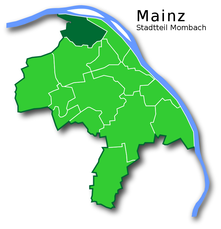
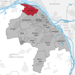
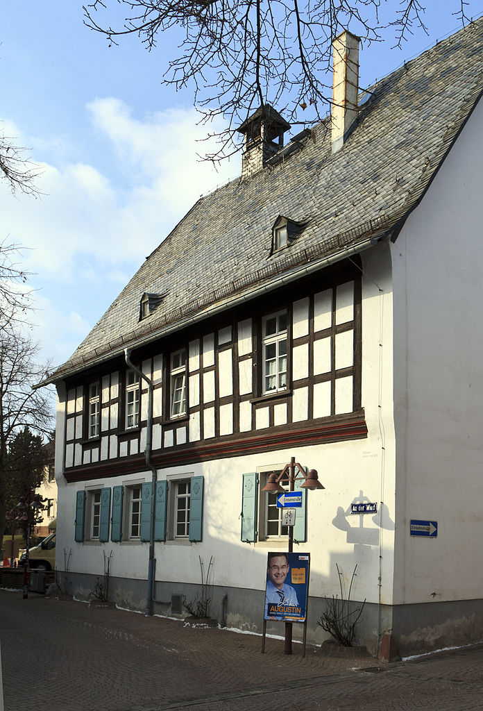
Mombach
- human settlement in Germany
Hiking in Mombach
Mombach, a district in Mainz, Germany, offers nearby opportunities for hiking, though the area itself is more urbanized. For those interested in hiking while in or near Mombach, consider exploring the Rhine Valley and surrounding regions. Here are some ideas for hiking near Mombach:...
- Country:
- Postal Code: 55120
- Local Dialing Code: 06131
- Licence Plate Code: MZ
- Coordinates: 50° 1' 10" N, 8° 13' 40" E
- GPS tracks (wikiloc): [Link]
- AboveSeaLevel: 85 м m
- Area: 6.32 sq km
- Population: 13486
- Web site: [Link]
Mainz-Neustadt
- human settlement in Germany
Hiking in Mainz-Neustadt
Mainz-Neustadt, located in Mainz, Germany, is a vibrant neighborhood known for its mix of urban life and access to nature. While it may not be surrounded by extensive hiking trails like some rural areas, there are still opportunities for enjoyable walks and nearby hiking adventures....
- Country:
- Coordinates: 50° 0' 35" N, 8° 15' 30" E
- GPS tracks (wikiloc): [Link]
- Area: 3.661 sq km


Altstadt (Mainz)
- quarter of Mainz, Germany
Hiking in Altstadt (Mainz)
Mainz-Altstadt, the old town of Mainz, is a charming area rich in history and culture, making it a unique destination for those who enjoy hiking combined with exploring urban landscapes. While it may not offer traditional hiking trails like mountainous regions, there are plenty of scenic walks and outdoor activities to engage in within and around the Altstadt. Here are some highlights and suggestions for a hiking experience in Mainz-Altstadt:...
- Country:
- Local Dialing Code: 06131
- Coordinates: 49° 59' 55" N, 8° 16' 10" E
- GPS tracks (wikiloc): [Link]
- Area: 2.414 sq km

Drais
- human settlement in Germany
Hiking in Drais
It appears that you may be referring to "Drais," but there isn't a well-known hiking destination by that name. It's possible you might have meant "Drei Zinnen" (Tre Cime) in the Dolomites of Italy, or perhaps a region or trail that's less widely recognized....
- Country:
- Coordinates: 49° 58' 30" N, 8° 11' 30" E
- GPS tracks (wikiloc): [Link]
- AboveSeaLevel: 200 м m
- Area: 3.1 sq km
- Population: 3081

Mainz-Weisenau
- human settlement in Germany
Hiking in Mainz-Weisenau
Mainz-Weisenau is a district located in Mainz, Germany, which offers some pleasant hiking opportunities, especially for those who enjoy exploring nature close to urban environments. Although not as rugged or expansive as some major hiking regions in Germany, it still has its charms for outdoor enthusiasts. Here are some key points to consider about hiking in Mainz-Weisenau and the surrounding area:...
- Country:
- Coordinates: 49° 58' 58" N, 8° 18' 11" E
- GPS tracks (wikiloc): [Link]
- Area: 4.056 sq km

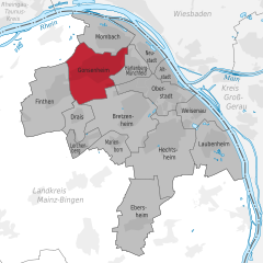
Gonsenheim
- human settlement in Germany
Hiking in Gonsenheim
Gonsenheim, located in Mainz, Germany, offers a charming blend of urban and natural landscapes for hiking enthusiasts. While it may not be known as a major hiking destination, there are several scenic routes and nearby areas that you can explore:...
- Country:
- Coordinates: 50° 0' 5" N, 8° 12' 30" E
- GPS tracks (wikiloc): [Link]
- AboveSeaLevel: 113 м m
- Area: 9.127 sq km
- Population: 23925
Shares border with regions:

Wiesbaden
- capital of the German state of Hesse
Hiking in Wiesbaden
Wiesbaden, the capital of the state of Hesse in Germany, offers a variety of hiking opportunities that cater to different skill levels and preferences. Nestled near the picturesque Rheingau region and surrounded by beautiful natural landscapes, it's an excellent destination for outdoor enthusiasts....
- Country:
- Postal Code: 55252; 55246; 65183–65207
- Local Dialing Code: 611; 6134; 6127; 6122
- Licence Plate Code: WI
- Coordinates: 50° 4' 57" N, 8° 14' 24" E
- GPS tracks (wikiloc): [Link]
- AboveSeaLevel: 117 м m
- Area: 203.93 sq km
- Population: 277619
- Web site: [Link]


Groß-Gerau
- district in Hesse, Germany
Hiking in Groß-Gerau
Groß-Gerau is a district in the state of Hesse, Germany, located just south of Frankfurt. While it may not be as well-known for hiking as some other regions in Germany, it offers a variety of scenic routes that showcase the natural beauty of the area....
- Country:
- Capital: Groß-Gerau
- Licence Plate Code: GG
- Coordinates: 49° 54' 46" N, 8° 28' 42" E
- GPS tracks (wikiloc): [Link]
- AboveSeaLevel: 87 м m
- Area: 453.05 sq km
- Population: 254883
- Web site: [Link]
Mainz-Bingen
- district of Rhineland-Palatinate, Germany
Hiking in Mainz-Bingen
Mainz-Bingen, situated in the scenic Rhineland-Palatinate region of Germany, is an excellent destination for hiking enthusiasts. The area boasts a mix of beautiful landscapes, including vineyards, hills, rivers, and charming villages, making it a great place for both casual walkers and serious hikers....
- Country:
- Licence Plate Code: MZ; BIN
- Coordinates: 49° 55' 12" N, 8° 4' 48" E
- GPS tracks (wikiloc): [Link]
- AboveSeaLevel: 201 м m
- Area: 605.85 sq km
- Population: 202222
- Web site: [Link]