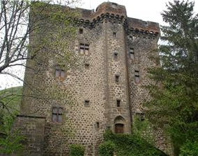
Malbo (Malbo)

- commune in Cantal, France
- Country:

- Postal Code: 15230
- Coordinates: 44° 58' 24" N, 2° 45' 22" E


- GPS tracks (wikiloc): [Link]
- Area: 29.34 sq km
- Population: 103
- Wikipedia en: wiki(en)
- Wikipedia: wiki(fr)
- Wikidata storage: Wikidata: Q549471
- Wikipedia Commons Category: [Link]
- Freebase ID: [/m/03mb7w2]
- GeoNames ID: Alt: [6427580]
- SIREN number: [211501127]
- BnF ID: [15248282p]
- INSEE municipality code: 15112
Shares border with regions:
Narnhac
- commune in Cantal, France
- Country:
- Postal Code: 15230
- Coordinates: 44° 55' 43" N, 2° 46' 44" E
- GPS tracks (wikiloc): [Link]
- Area: 10.29 sq km
- Population: 75
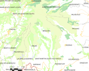
Brezons
- commune in Cantal, France
- Country:
- Postal Code: 15230
- Coordinates: 44° 58' 6" N, 2° 48' 26" E
- GPS tracks (wikiloc): [Link]
- Area: 43.2 sq km
- Population: 192
- Web site: [Link]
Lacapelle-Barrès
- commune in Cantal, France
- Country:
- Postal Code: 15230
- Coordinates: 44° 56' 3" N, 2° 43' 24" E
- GPS tracks (wikiloc): [Link]
- Area: 6.3 sq km
- Population: 58

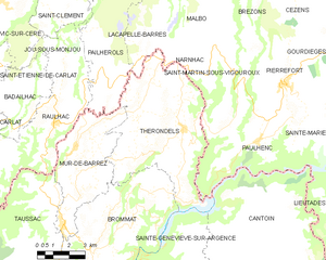
Thérondels
- commune in Aveyron, France
- Country:
- Postal Code: 12600
- Coordinates: 44° 53' 45" N, 2° 45' 31" E
- GPS tracks (wikiloc): [Link]
- Area: 38.47 sq km
- Population: 411
- Web site: [Link]


Saint-Martin-sous-Vigouroux
- commune in Cantal, France
- Country:
- Postal Code: 15230
- Coordinates: 44° 55' 23" N, 2° 48' 10" E
- GPS tracks (wikiloc): [Link]
- Area: 19.29 sq km
- Population: 245


Pailherols
- commune in Cantal, France
- Country:
- Postal Code: 15800
- Coordinates: 44° 57' 3" N, 2° 41' 3" E
- GPS tracks (wikiloc): [Link]
- Area: 25.98 sq km
- Population: 133