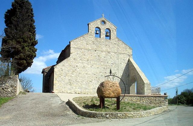
Malegoude (Malegoude)
- commune in Ariège, France
- Country:

- Postal Code: 09500
- Coordinates: 43° 6' 45" N, 1° 56' 19" E


- GPS tracks (wikiloc): [Link]
- Area: 6.14 sq km
- Population: 44
- Wikipedia en: wiki(en)
- Wikipedia: wiki(fr)
- Wikidata storage: Wikidata: Q1143516
- Wikipedia Commons Category: [Link]
- Freebase ID: [/m/03m8n1p]
- GeoNames ID: Alt: [6612258]
- SIREN number: [210901781]
- INSEE municipality code: 09178
Shares border with regions:
Cazals-des-Baylès
- commune in Ariège, France
- Country:
- Postal Code: 09500
- Coordinates: 43° 5' 15" N, 1° 56' 50" E
- GPS tracks (wikiloc): [Link]
- Area: 4.71 sq km
- Population: 55

Saint-Gaudéric
- commune in Aude, France
- Country:
- Postal Code: 11270
- Coordinates: 43° 7' 44" N, 1° 56' 48" E
- GPS tracks (wikiloc): [Link]
- Area: 11.13 sq km
- Population: 98
Seignalens
- commune in Aude, France
- Country:
- Postal Code: 11240
- Coordinates: 43° 5' 56" N, 1° 58' 14" E
- GPS tracks (wikiloc): [Link]
- Area: 6.17 sq km
- Population: 35
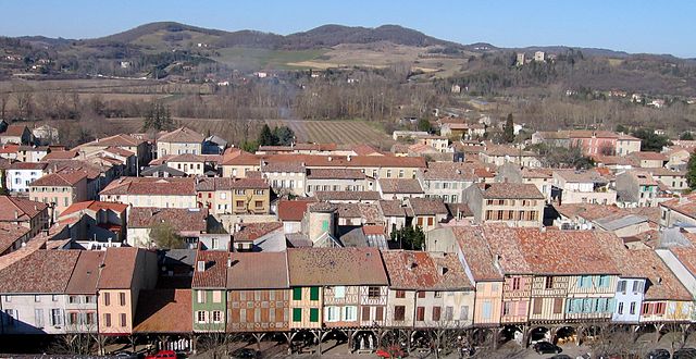
Mirepoix
- commune in Ariège, France
- Country:
- Postal Code: 09500
- Coordinates: 43° 5' 19" N, 1° 52' 25" E
- GPS tracks (wikiloc): [Link]
- Area: 47.28 sq km
- Population: 3162
- Web site: [Link]
Sainte-Foi
- commune in Ariège, France
- Country:
- Postal Code: 09500
- Coordinates: 43° 7' 45" N, 1° 54' 53" E
- GPS tracks (wikiloc): [Link]
- Area: 2.41 sq km
- Population: 24