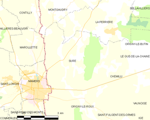
Mamers (Mamers)

- commune in Sarthe, France
- Country:

- Postal Code: 72600
- Coordinates: 48° 20' 58" N, 0° 22' 10" E


- GPS tracks (wikiloc): [Link]
- Area: 5.05 sq km
- Population: 5304
- Web site: http://www.mairie-mamers.fr
- Wikipedia en: wiki(en)
- Wikipedia: wiki(fr)
- Wikidata storage: Wikidata: Q645085
- Wikipedia Commons Category: [Link]
- Freebase ID: [/m/08shph]
- GeoNames ID: Alt: [2996291]
- SIREN number: [217201805]
- BnF ID: [15273735z]
- VIAF ID: Alt: [233933364]
- GND ID: Alt: [4251450-2]
- Library of Congress authority ID: Alt: [no2012052955]
- INSEE municipality code: 72180
Shares border with regions:


Saint-Rémy-des-Monts
- commune in Sarthe, France
- Country:
- Postal Code: 72600
- Coordinates: 48° 18' 31" N, 0° 24' 2" E
- GPS tracks (wikiloc): [Link]
- Area: 10.12 sq km
- Population: 685

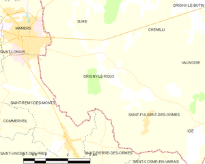
Origny-le-Roux
- commune in Orne, France
- Country:
- Postal Code: 61130
- Coordinates: 48° 20' 41" N, 0° 25' 13" E
- GPS tracks (wikiloc): [Link]
- Area: 14.12 sq km
- Population: 269

Suré
- commune in Orne, France
- Country:
- Postal Code: 61360
- Coordinates: 48° 22' 8" N, 0° 23' 53" E
- GPS tracks (wikiloc): [Link]
- Area: 17.44 sq km
- Population: 278

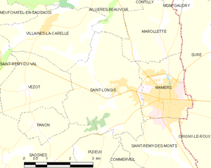
Saint-Longis
- commune in Sarthe, France
- Country:
- Postal Code: 72600
- Coordinates: 48° 21' 19" N, 0° 20' 45" E
- GPS tracks (wikiloc): [Link]
- Area: 11.22 sq km
- Population: 511


Marollette
- commune in Sarthe, France
- Country:
- Postal Code: 72600
- Coordinates: 48° 22' 11" N, 0° 21' 4" E
- GPS tracks (wikiloc): [Link]
- AboveSeaLevel: 175 м m
- Area: 5.7 sq km
- Population: 148