Saint-Rémy-des-Monts (Saint-Rémy-des-Monts)

- commune in Sarthe, France
- Country:

- Postal Code: 72600
- Coordinates: 48° 18' 31" N, 0° 24' 2" E


- GPS tracks (wikiloc): [Link]
- Area: 10.12 sq km
- Population: 685
- Wikipedia en: wiki(en)
- Wikipedia: wiki(fr)
- Wikidata storage: Wikidata: Q1226790
- Wikipedia Commons Category: [Link]
- Freebase ID: [/m/03qj183]
- GeoNames ID: Alt: [6442724]
- SIREN number: [217203165]
- BnF ID: [152738686]
- MusicBrainz area ID: [d663784f-4c9e-4860-a94b-572d4c3871d2]
- INSEE municipality code: 72316
Shares border with regions:

Pizieux
- commune in Sarthe, France
- Country:
- Postal Code: 72600
- Coordinates: 48° 19' 20" N, 0° 19' 52" E
- GPS tracks (wikiloc): [Link]
- Area: 4.51 sq km
- Population: 80


Commerveil
- commune in Sarthe, France
- Country:
- Postal Code: 72600
- Coordinates: 48° 19' 1" N, 0° 21' 28" E
- GPS tracks (wikiloc): [Link]
- Area: 5.64 sq km
- Population: 132

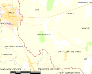
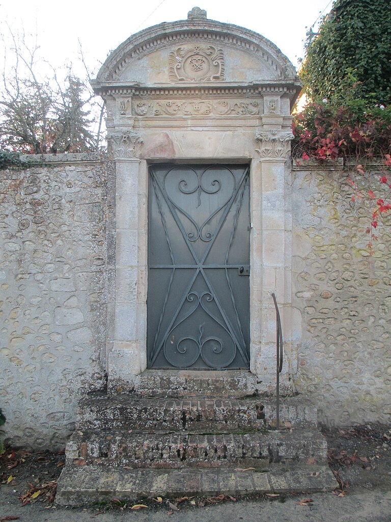
Origny-le-Roux
- commune in Orne, France
- Country:
- Postal Code: 61130
- Coordinates: 48° 20' 41" N, 0° 25' 13" E
- GPS tracks (wikiloc): [Link]
- Area: 14.12 sq km
- Population: 269


Saint-Vincent-des-Prés, Sarthe
- commune in Sarthe, France
- Country:
- Postal Code: 72600
- Coordinates: 48° 17' 44" N, 0° 23' 8" E
- GPS tracks (wikiloc): [Link]
- Area: 10.51 sq km
- Population: 522


Mamers
- commune in Sarthe, France
- Country:
- Postal Code: 72600
- Coordinates: 48° 20' 58" N, 0° 22' 10" E
- GPS tracks (wikiloc): [Link]
- Area: 5.05 sq km
- Population: 5304
- Web site: [Link]

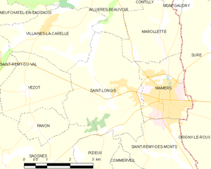
Saint-Longis
- commune in Sarthe, France
- Country:
- Postal Code: 72600
- Coordinates: 48° 21' 19" N, 0° 20' 45" E
- GPS tracks (wikiloc): [Link]
- Area: 11.22 sq km
- Population: 511


Saint-Pierre-des-Ormes
- commune in Sarthe, France
- Country:
- Postal Code: 72600
- Coordinates: 48° 18' 23" N, 0° 25' 17" E
- GPS tracks (wikiloc): [Link]
- Area: 10.12 sq km
- Population: 227