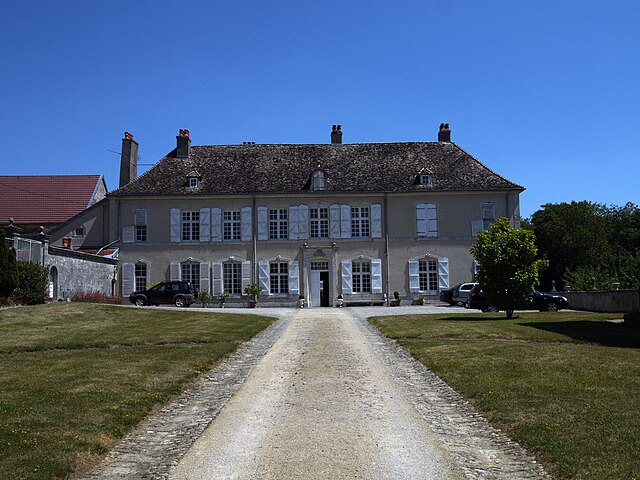
Martigny-les-Gerbonvaux (Martigny-les-Gerbonvaux)

- commune in Vosges, France
- Country:

- Postal Code: 88300
- Coordinates: 48° 26' 44" N, 5° 47' 40" E


- GPS tracks (wikiloc): [Link]
- Area: 9.04 sq km
- Population: 112
- Wikipedia en: wiki(en)
- Wikipedia: wiki(fr)
- Wikidata storage: Wikidata: Q1158046
- Wikipedia Commons Category: [Link]
- Freebase ID: [/m/03qgv94]
- Freebase ID: [/m/03qgv94]
- GeoNames ID: Alt: [6613499]
- GeoNames ID: Alt: [6613499]
- SIREN number: [218802908]
- SIREN number: [218802908]
- BnF ID: [15279216r]
- BnF ID: [15279216r]
- INSEE municipality code: 88290
- INSEE municipality code: 88290
Shares border with regions:


Tranqueville-Graux
- commune in Vosges, France
- Country:
- Postal Code: 88300
- Coordinates: 48° 26' 12" N, 5° 50' 55" E
- GPS tracks (wikiloc): [Link]
- Area: 14.94 sq km
- Population: 98


Ruppes
- commune in Vosges, France
- Country:
- Postal Code: 88630
- Coordinates: 48° 28' 17" N, 5° 46' 11" E
- GPS tracks (wikiloc): [Link]
- Area: 7.44 sq km
- Population: 136


Punerot
- commune in Vosges, France
- Country:
- Postal Code: 88630
- Coordinates: 48° 28' 54" N, 5° 48' 31" E
- GPS tracks (wikiloc): [Link]
- Area: 13.77 sq km
- Population: 161

Autigny-la-Tour
- commune in Vosges, France
- Country:
- Postal Code: 88300
- Coordinates: 48° 23' 58" N, 5° 45' 34" E
- GPS tracks (wikiloc): [Link]
- Area: 15.86 sq km
- Population: 166


Soulosse-sous-Saint-Élophe
- commune in Vosges, France
- Country:
- Postal Code: 88630
- Coordinates: 48° 24' 33" N, 5° 44' 21" E
- GPS tracks (wikiloc): [Link]
- AboveSeaLevel: 291 м m
- Area: 19.32 sq km
- Population: 642