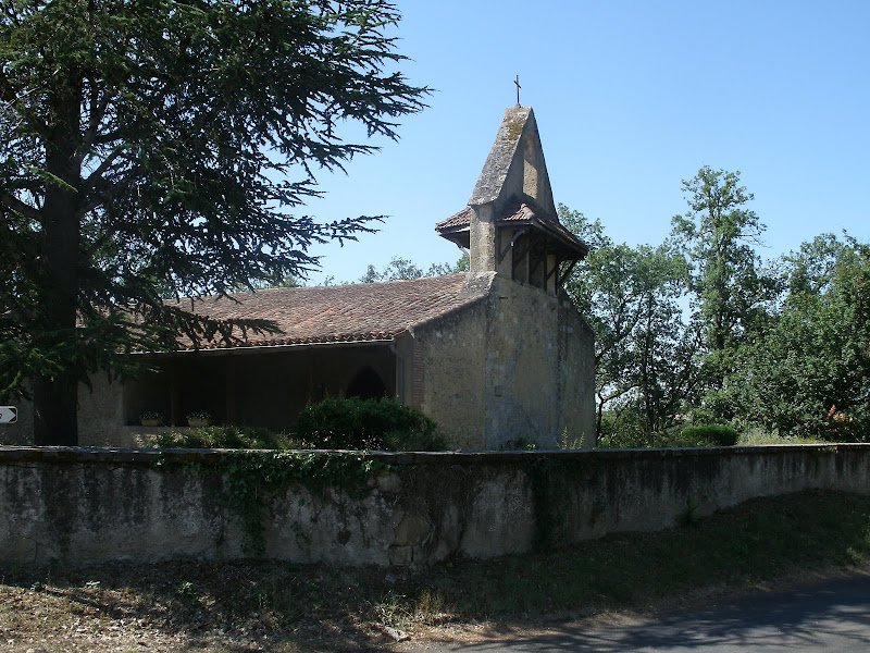
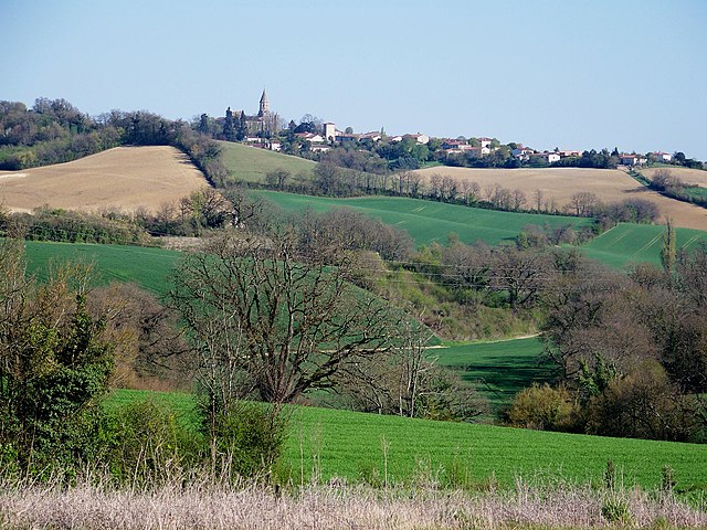
Mirepoix (Mirepoix)

- commune in Gers, France
- Country:

- Postal Code: 32390
- Coordinates: 43° 44' 41" N, 0° 40' 16" E


- GPS tracks (wikiloc): [Link]
- Area: 7.25 sq km
- Population: 223
- Wikipedia en: wiki(en)
- Wikipedia: wiki(fr)
- Wikidata storage: Wikidata: Q650764
- Wikipedia Commons Category: [Link]
- Freebase ID: [/m/03nrr8k]
- GeoNames ID: Alt: [6613949]
- SIREN number: [213202583]
- BnF ID: [152558448]
- INSEE municipality code: 32258
Shares border with regions:


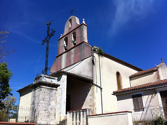
Preignan
- commune in Gers, France
- Country:
- Postal Code: 32810
- Coordinates: 43° 42' 45" N, 0° 37' 47" E
- GPS tracks (wikiloc): [Link]
- Area: 10.67 sq km
- Population: 1287
- Web site: [Link]


Miramont-Latour
- commune in Gers, France
- Country:
- Postal Code: 32390
- Coordinates: 43° 46' 26" N, 0° 40' 58" E
- GPS tracks (wikiloc): [Link]
- Area: 9.77 sq km
- Population: 161

Gavarret-sur-Aulouste
- commune in Gers, France
- Country:
- Postal Code: 32390
- Coordinates: 43° 46' 18" N, 0° 39' 8" E
- GPS tracks (wikiloc): [Link]
- AboveSeaLevel: 199 м m
- Area: 8.38 sq km
- Population: 142
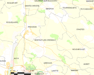
Montaut-les-Créneaux
- commune in Gers, France
- Country:
- Postal Code: 32810
- Coordinates: 43° 41' 38" N, 0° 39' 28" E
- GPS tracks (wikiloc): [Link]
- AboveSeaLevel: 244 м m
- Area: 26.23 sq km
- Population: 704
Tourrenquets
- commune in Gers, France
- Country:
- Postal Code: 32390
- Coordinates: 43° 45' 11" N, 0° 41' 29" E
- GPS tracks (wikiloc): [Link]
- Area: 7.12 sq km
- Population: 117
Sainte-Christie
- commune in Gers, France
- Country:
- Postal Code: 32390
- Coordinates: 43° 45' 18" N, 0° 37' 59" E
- GPS tracks (wikiloc): [Link]
- Area: 9.91 sq km
- Population: 568
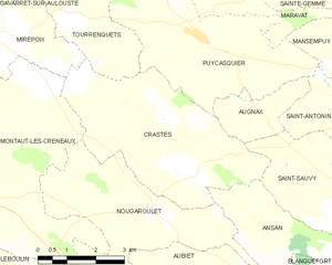
Crastes
- commune in Gers, France
- Country:
- Postal Code: 32270
- Coordinates: 43° 43' 25" N, 0° 43' 48" E
- GPS tracks (wikiloc): [Link]
- Area: 19.25 sq km
- Population: 252