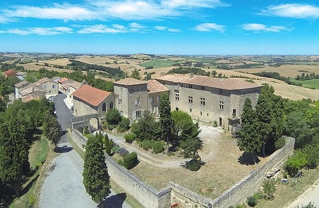
Molandier (Molandier)

- commune in Aude, France
- Country:

- Postal Code: 11420
- Coordinates: 43° 14' 46" N, 1° 42' 57" E


- GPS tracks (wikiloc): [Link]
- Area: 19.84 sq km
- Population: 237
- Wikipedia en: wiki(en)
- Wikipedia: wiki(fr)
- Wikidata storage: Wikidata: Q192312
- Wikipedia Commons Category: [Link]
- Freebase ID: [/m/03m8zyj]
- GeoNames ID: Alt: [6426752]
- SIREN number: [211102363]
- BnF ID: [15246773m]
- INSEE municipality code: 11236
Shares border with regions:
La Louvière-Lauragais
- commune in Aude, France
- Country:
- Postal Code: 11410
- Coordinates: 43° 15' 48" N, 1° 45' 5" E
- GPS tracks (wikiloc): [Link]
- Area: 6.25 sq km
- Population: 79

Gibel
- commune in Haute-Garonne, France
- Country:
- Postal Code: 31560
- Coordinates: 43° 17' 37" N, 1° 40' 44" E
- GPS tracks (wikiloc): [Link]
- Area: 19.4 sq km
- Population: 351

Mézerville
- commune in Aude, France
- Country:
- Postal Code: 11410
- Coordinates: 43° 15' 36" N, 1° 47' 30" E
- GPS tracks (wikiloc): [Link]
- Area: 7.3 sq km
- Population: 95

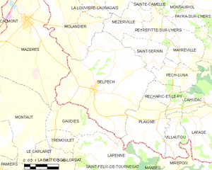
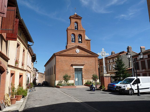
Belpech
- commune in Aude, France
- Country:
- Postal Code: 11420
- Coordinates: 43° 11' 52" N, 1° 45' 5" E
- GPS tracks (wikiloc): [Link]
- Area: 42.46 sq km
- Population: 1282
- Web site: [Link]
Fajac-la-Relenque
- commune in Aude, France
- Country:
- Postal Code: 11410
- Coordinates: 43° 16' 48" N, 1° 43' 27" E
- GPS tracks (wikiloc): [Link]
- Area: 3.51 sq km
- Population: 50

Mazères
- commune in Ariège, France
- Country:
- Postal Code: 09270
- Coordinates: 43° 15' 6" N, 1° 40' 41" E
- GPS tracks (wikiloc): [Link]
- Area: 44.04 sq km
- Population: 3826
- Web site: [Link]