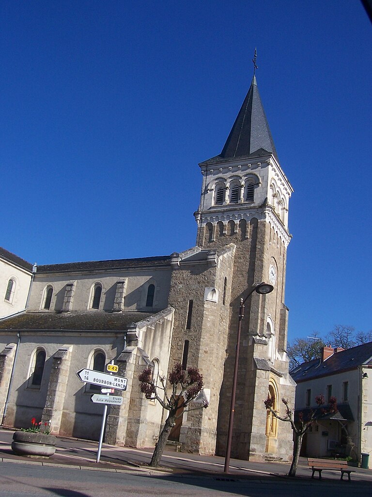
Mont (Mont)

- commune in Saône-et-Loire, France
- Country:

- Postal Code: 71140
- Coordinates: 46° 37' 34" N, 3° 49' 48" E


- GPS tracks (wikiloc): [Link]
- Area: 16.18 sq km
- Population: 211
- Wikipedia en: wiki(en)
- Wikipedia: wiki(fr)
- Wikidata storage: Wikidata: Q1385600
- Wikipedia Commons Category: [Link]
- Wikipedia Commons Maps Category: [Link]
- Freebase ID: [/m/03qh0n6]
- Freebase ID: [/m/03qh0n6]
- GeoNames ID: Alt: [6454624]
- GeoNames ID: Alt: [6454624]
- SIREN number: [217103019]
- SIREN number: [217103019]
- BnF ID: [15273272s]
- BnF ID: [15273272s]
- INSEE municipality code: 71301
- INSEE municipality code: 71301
Shares border with regions:


Maltat
- commune in Saône-et-Loire, France
- Country:
- Postal Code: 71140
- Coordinates: 46° 40' 55" N, 3° 49' 2" E
- GPS tracks (wikiloc): [Link]
- Area: 31.35 sq km
- Population: 290


Chalmoux
- commune in Saône-et-Loire, France
- Country:
- Postal Code: 71140
- Coordinates: 46° 35' 54" N, 3° 50' 53" E
- GPS tracks (wikiloc): [Link]
- Area: 38.47 sq km
- Population: 656
- Web site: [Link]


Bourbon-Lancy
- commune in Saône-et-Loire, France
- Country:
- Postal Code: 71140
- Coordinates: 46° 37' 10" N, 3° 46' 24" E
- GPS tracks (wikiloc): [Link]
- Area: 55.73 sq km
- Population: 5054
- Web site: [Link]

Grury
- commune in Saône-et-Loire, France
- Country:
- Postal Code: 71760
- Coordinates: 46° 40' 32" N, 3° 54' 40" E
- GPS tracks (wikiloc): [Link]
- Area: 46.02 sq km
- Population: 537