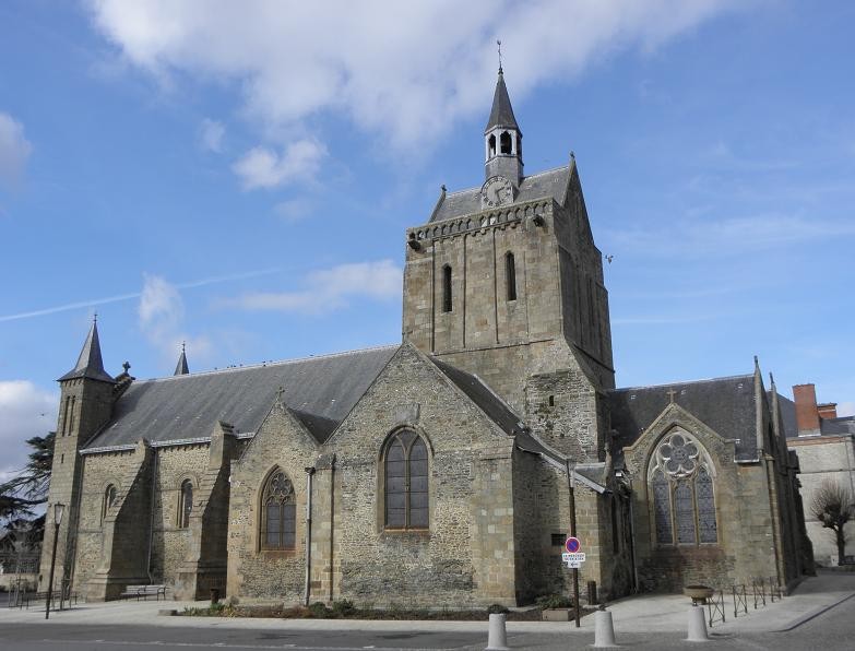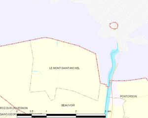
Le Mont-Saint-Michel (Le Mont-Saint-Michel)
- island commune in Manche, Normandy, France
- Country:

- Postal Code: 50170
- Coordinates: 48° 38' 9" N, 1° 30' 37" E


- GPS tracks (wikiloc): [Link]
- Area: 3.97 sq km
- Population: 33
- Web site: http://www.ot-montsaintmichel.com/index.htm?lang=en
- Wikipedia en: wiki(en)
- Wikipedia: wiki(fr)
- Wikidata storage: Wikidata: Q20892
- Wikipedia Commons Category: [Link]
- Freebase ID: [/m/01p8h6]
- Freebase ID: [/m/01p8h6]
- GeoNames ID: Alt: [7522158]
- GeoNames ID: Alt: [7522158]
- SIREN number: [215003534]
- SIREN number: [215003534]
- BnF ID: [152623284]
- BnF ID: [152623284]
- VIAF ID: Alt: [159458718]
- VIAF ID: Alt: [159458718]
- OSM relation ID: [376823]
- OSM relation ID: [376823]
- GND ID: Alt: [4040122-4]
- GND ID: Alt: [4040122-4]
- archINFORM location ID: [687]
- archINFORM location ID: [687]
- Library of Congress authority ID: Alt: [n81100655]
- Library of Congress authority ID: Alt: [n81100655]
- SUDOC authorities ID: [167715658]
- SUDOC authorities ID: [167715658]
- Great Russian Encyclopedia Online ID: [2228263]
- Great Russian Encyclopedia Online ID: [2228263]
- Catholic Encyclopedia ID: [10551a]
- Catholic Encyclopedia ID: [10551a]
- INSEE municipality code: 50353
- INSEE municipality code: 50353
Shares border with regions:


Beauvoir
- commune in Manche, France
- Country:

- Postal Code: 50170
- Coordinates: 48° 35' 50" N, 1° 30' 17" E


- GPS tracks (wikiloc): [Link]
- Area: 14.29 sq km
- Population: 410


Pontorson
- commune in Manche, France
- Country:

- Postal Code: 50170
- Coordinates: 48° 33' 12" N, 1° 30' 26" E


- GPS tracks (wikiloc): [Link]
- AboveSeaLevel: 18 м m
- Area: 43.01 sq km
- Population: 3836
- Web site: [Link]
