Montereau-sur-le-Jard (Montereau-sur-le-Jard)

- commune in Seine-et-Marne, France
- Country:

- Postal Code: 77950
- Coordinates: 48° 35' 48" N, 2° 41' 14" E


- GPS tracks (wikiloc): [Link]
- Area: 11.29 sq km
- Population: 527
- Web site: http://www.aubigny-montereau.com/
- Wikipedia en: wiki(en)
- Wikipedia: wiki(fr)
- Wikidata storage: Wikidata: Q243379
- Wikipedia Commons Category: [Link]
- Freebase ID: [/m/02r00r6]
- Freebase ID: [/m/02r00r6]
- GeoNames ID: Alt: [6443749]
- GeoNames ID: Alt: [6443749]
- SIREN number: [217703065]
- SIREN number: [217703065]
- BnF ID: [15275646t]
- BnF ID: [15275646t]
- VIAF ID: Alt: [133011958]
- VIAF ID: Alt: [133011958]
- PACTOLS thesaurus ID: [pcrtGzfm5tnmqh]
- PACTOLS thesaurus ID: [pcrtGzfm5tnmqh]
- INSEE municipality code: 77306
- INSEE municipality code: 77306
Shares border with regions:


Réau
- commune in Seine-et-Marne, France
- Country:
- Postal Code: 77550
- Coordinates: 48° 36' 38" N, 2° 37' 25" E
- GPS tracks (wikiloc): [Link]
- Area: 13.32 sq km
- Population: 1777


Voisenon
- commune in Seine-et-Marne, France
- Country:
- Postal Code: 77950
- Coordinates: 48° 34' 18" N, 2° 39' 51" E
- GPS tracks (wikiloc): [Link]
- Area: 3.36 sq km
- Population: 1109


Saint-Germain-Laxis
- commune in Seine-et-Marne, France
- Country:
- Postal Code: 77950
- Coordinates: 48° 34' 54" N, 2° 42' 40" E
- GPS tracks (wikiloc): [Link]
- Area: 7.18 sq km
- Population: 728
- Web site: [Link]


Limoges-Fourches
- commune in Seine-et-Marne, France
- Country:
- Postal Code: 77550
- Coordinates: 48° 37' 40" N, 2° 39' 56" E
- GPS tracks (wikiloc): [Link]
- Area: 7.96 sq km
- Population: 456


Vert-Saint-Denis
- commune in Seine-et-Marne, France
- Country:
- Postal Code: 77240
- Coordinates: 48° 34' 1" N, 2° 37' 19" E
- GPS tracks (wikiloc): [Link]
- Area: 16.13 sq km
- Population: 7369


Lissy
- commune in Seine-et-Marne, France
- Country:
- Postal Code: 77550
- Coordinates: 48° 37' 36" N, 2° 41' 47" E
- GPS tracks (wikiloc): [Link]
- Area: 6.85 sq km
- Population: 199
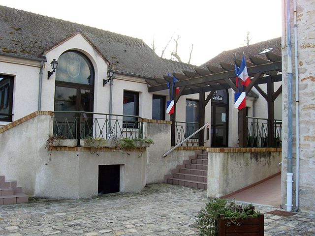
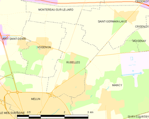
Rubelles
- commune in Seine-et-Marne, France
- Country:
- Postal Code: 77950
- Coordinates: 48° 33' 35" N, 2° 40' 49" E
- GPS tracks (wikiloc): [Link]
- Area: 3.91 sq km
- Population: 2121
- Web site: [Link]