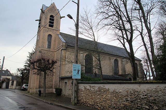
Vert-Saint-Denis (Vert-Saint-Denis)

- commune in Seine-et-Marne, France
- Country:

- Postal Code: 77240
- Coordinates: 48° 34' 1" N, 2° 37' 19" E


- GPS tracks (wikiloc): [Link]
- Area: 16.13 sq km
- Population: 7369
- Wikipedia en: wiki(en)
- Wikipedia: wiki(fr)
- Wikidata storage: Wikidata: Q899554
- Wikipedia Commons Gallery: [Link]
- Wikipedia Commons Category: [Link]
- Freebase ID: [/m/02rsg4k]
- Freebase ID: [/m/02rsg4k]
- GeoNames ID: Alt: [2969608]
- GeoNames ID: Alt: [2969608]
- SIREN number: [217704956]
- SIREN number: [217704956]
- BnF ID: [152758331]
- BnF ID: [152758331]
- VIAF ID: Alt: [263659246]
- VIAF ID: Alt: [263659246]
- PACTOLS thesaurus ID: [pcrtrmKTpuszBJ]
- PACTOLS thesaurus ID: [pcrtrmKTpuszBJ]
- SUDOC authorities ID: [033551138]
- SUDOC authorities ID: [033551138]
- INSEE municipality code: 77495
- INSEE municipality code: 77495
Shares border with regions:

Le Mée-sur-Seine
- commune in Seine-et-Marne, France
- Country:
- Postal Code: 77350
- Coordinates: 48° 32' 15" N, 2° 37' 55" E
- GPS tracks (wikiloc): [Link]
- AboveSeaLevel: 60 м m
- Area: 5.34 sq km
- Population: 20756
- Web site: [Link]


Réau
- commune in Seine-et-Marne, France
- Country:
- Postal Code: 77550
- Coordinates: 48° 36' 38" N, 2° 37' 25" E
- GPS tracks (wikiloc): [Link]
- Area: 13.32 sq km
- Population: 1777


Voisenon
- commune in Seine-et-Marne, France
- Country:
- Postal Code: 77950
- Coordinates: 48° 34' 18" N, 2° 39' 51" E
- GPS tracks (wikiloc): [Link]
- Area: 3.36 sq km
- Population: 1109


Cesson
- commune in Seine-et-Marne, France
- Country:
- Postal Code: 77240
- Coordinates: 48° 33' 57" N, 2° 36' 4" E
- GPS tracks (wikiloc): [Link]
- Area: 6.98 sq km
- Population: 10033
- Web site: [Link]


Boissise-la-Bertrand
- commune in Seine-et-Marne, France
- Country:
- Postal Code: 77350
- Coordinates: 48° 31' 39" N, 2° 35' 21" E
- GPS tracks (wikiloc): [Link]
- Area: 7.8 sq km
- Population: 1170
- Web site: [Link]

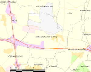
Montereau-sur-le-Jard
- commune in Seine-et-Marne, France
- Country:
- Postal Code: 77950
- Coordinates: 48° 35' 48" N, 2° 41' 14" E
- GPS tracks (wikiloc): [Link]
- Area: 11.29 sq km
- Population: 527
- Web site: [Link]


Melun
- commune in Seine-et-Marne, France
- Country:
- Postal Code: 77000
- Coordinates: 48° 32' 23" N, 2° 39' 33" E
- GPS tracks (wikiloc): [Link]
- AboveSeaLevel: 54 м m
- Area: 8.04 sq km
- Population: 39914
- Web site: [Link]