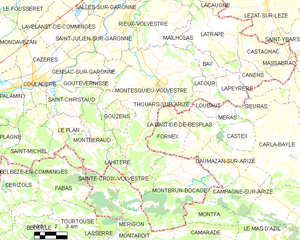
Montesquieu-Volvestre (Montesquieu-Volvestre)
- commune in Haute-Garonne, France
- Country:

- Postal Code: 31310
- Coordinates: 43° 12' 28" N, 1° 13' 47" E


- GPS tracks (wikiloc): [Link]
- Area: 59.82 sq km
- Population: 3080
- Web site: http://www.mairie-montesquieu-volvestre.fr
- Wikipedia en: wiki(en)
- Wikipedia: wiki(fr)
- Wikidata storage: Wikidata: Q1152867
- Wikipedia Commons Category: [Link]
- Freebase ID: [/m/03nq2ff]
- Freebase ID: [/m/03nq2ff]
- GeoNames ID: Alt: [2992654]
- GeoNames ID: Alt: [2992654]
- SIREN number: [213103757]
- SIREN number: [213103757]
- BnF ID: [15255370f]
- BnF ID: [15255370f]
- VIAF ID: Alt: [105146153100705251643]
- VIAF ID: Alt: [105146153100705251643]
- Library of Congress authority ID: Alt: [n81012541]
- Library of Congress authority ID: Alt: [n81012541]
- INSEE municipality code: 31375
- INSEE municipality code: 31375
Shares border with regions:
Fornex
- commune in Ariège, France
- Country:

- Postal Code: 09350
- Coordinates: 43° 10' 2" N, 1° 14' 51" E


- GPS tracks (wikiloc): [Link]
- Area: 9.62 sq km
- Population: 113

Sainte-Croix-Volvestre
- commune in Ariège, France
- Country:

- Postal Code: 09230
- Coordinates: 43° 7' 33" N, 1° 10' 27" E


- GPS tracks (wikiloc): [Link]
- Area: 19.66 sq km
- Population: 634
- Web site: [Link]
Loubaut
- commune in Ariège, France
- Country:

- Postal Code: 09350
- Coordinates: 43° 11' 19" N, 1° 17' 7" E


- GPS tracks (wikiloc): [Link]
- Area: 2.39 sq km
- Population: 28
- Web site: [Link]
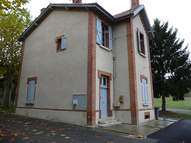

Mailholas
- commune in Haute-Garonne, France
- Country:

- Postal Code: 31310
- Coordinates: 43° 14' 52" N, 1° 15' 3" E


- GPS tracks (wikiloc): [Link]
- Area: 2.94 sq km
- Population: 35
Saint-Christaud
- commune in Haute-Garonne, France
- Country:

- Postal Code: 31310
- Coordinates: 43° 11' 21" N, 1° 7' 44" E


- GPS tracks (wikiloc): [Link]
- Area: 10.87 sq km
- Population: 251

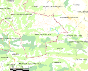
Montbrun-Bocage
- commune in Haute-Garonne, France
- Country:

- Postal Code: 31310
- Coordinates: 43° 7' 43" N, 1° 16' 0" E


- GPS tracks (wikiloc): [Link]
- Area: 30.61 sq km
- Population: 482
- Web site: [Link]


Latour
- commune in Haute-Garonne, France
- Country:

- Postal Code: 31310
- Coordinates: 43° 12' 2" N, 1° 16' 51" E


- GPS tracks (wikiloc): [Link]
- Area: 6.24 sq km
- Population: 75


Goutevernisse
- commune in Haute-Garonne, France
- Country:

- Postal Code: 31310
- Coordinates: 43° 12' 43" N, 1° 10' 15" E


- GPS tracks (wikiloc): [Link]
- Area: 4.69 sq km
- Population: 180
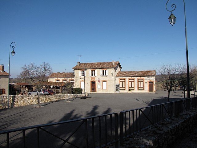

Montberaud
- commune in Haute-Garonne, France
- Country:

- Postal Code: 31220
- Coordinates: 43° 9' 18" N, 1° 8' 35" E


- GPS tracks (wikiloc): [Link]
- Area: 15.87 sq km
- Population: 211


Lahitère
- commune in Haute-Garonne, France
- Country:

- Postal Code: 31310
- Coordinates: 43° 8' 20" N, 1° 11' 32" E


- GPS tracks (wikiloc): [Link]
- Area: 3.9 sq km
- Population: 54
Gouzens
- commune in Haute-Garonne, France
- Country:

- Postal Code: 31310
- Coordinates: 43° 11' 10" N, 1° 11' 18" E


- GPS tracks (wikiloc): [Link]
- Area: 5.7 sq km
- Population: 86
La Bastide-de-Besplas
- commune in Ariège, France
- Country:

- Postal Code: 09350
- Coordinates: 43° 10' 0" N, 1° 16' 29" E


- GPS tracks (wikiloc): [Link]
- Area: 10.22 sq km
- Population: 379
- Web site: [Link]
Thouars-sur-Arize
- commune in Ariège, France
- Country:

- Postal Code: 09350
- Coordinates: 43° 11' 6" N, 1° 14' 28" E


- GPS tracks (wikiloc): [Link]
- Area: 2.34 sq km
- Population: 51
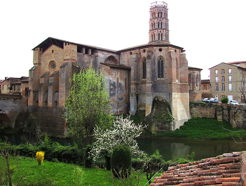

Rieux-Volvestre
- commune in Haute-Garonne, France
- Country:

- Postal Code: 31310
- Coordinates: 43° 15' 27" N, 1° 11' 49" E


- GPS tracks (wikiloc): [Link]
- Area: 32.38 sq km
- Population: 2570
- Web site: [Link]
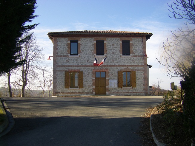
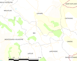
Bax
- commune in Haute-Garonne, France
- Country:

- Postal Code: 31310
- Coordinates: 43° 13' 35" N, 1° 17' 18" E


- GPS tracks (wikiloc): [Link]
- Area: 5.99 sq km
- Population: 86
- Web site: [Link]
