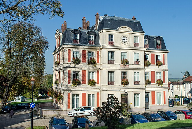
Montlignon (Montlignon)

- commune in Val-d'Oise, France
- Country:

- Postal Code: 95680
- Coordinates: 49° 0' 35" N, 2° 17' 1" E


- GPS tracks (wikiloc): [Link]
- Area: 2.84 sq km
- Population: 3008
- Web site: http://www.montlignon.fr
- Wikipedia en: wiki(en)
- Wikipedia: wiki(fr)
- Wikidata storage: Wikidata: Q274218
- Wikipedia Commons Category: [Link]
- Freebase ID: [/m/098jnt]
- Freebase ID: [/m/098jnt]
- GeoNames ID: Alt: [2992304]
- GeoNames ID: Alt: [2992304]
- SIREN number: [219504263]
- SIREN number: [219504263]
- BnF ID: [15280483g]
- BnF ID: [15280483g]
- INSEE municipality code: 95426
- INSEE municipality code: 95426
Shares border with regions:


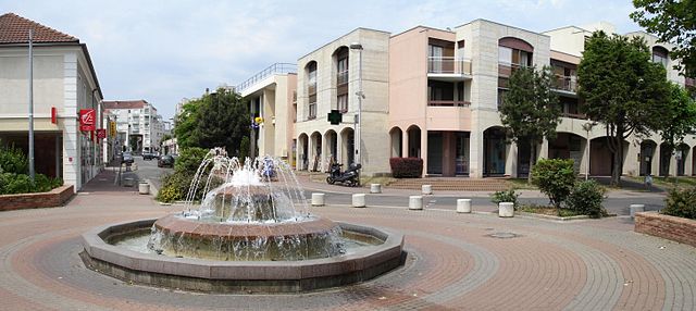
Andilly
- commune in Val-d'Oise, France
- Country:
- Postal Code: 95580
- Coordinates: 49° 0' 19" N, 2° 17' 58" E
- GPS tracks (wikiloc): [Link]
- Area: 2.7 sq km
- Population: 2572
- Web site: [Link]

Domont
- commune in Val-d'Oise, France
- Country:
- Postal Code: 95330
- Coordinates: 49° 1' 39" N, 2° 19' 36" E
- GPS tracks (wikiloc): [Link]
- Area: 8.33 sq km
- Population: 15343
- Web site: [Link]

Eaubonne
- commune in Val-d'Oise, France
- Country:
- Postal Code: 95600
- Coordinates: 48° 59' 29" N, 2° 16' 47" E
- GPS tracks (wikiloc): [Link]
- Area: 4.42 sq km
- Population: 24609
- Web site: [Link]


Saint-Prix
- commune in Val-d'Oise, France
- Country:
- Postal Code: 95390
- Coordinates: 49° 0' 24" N, 2° 15' 45" E
- GPS tracks (wikiloc): [Link]
- Area: 7.93 sq km
- Population: 7191
- Web site: [Link]


Margency
- commune in Val-d'Oise, France
- Country:
- Postal Code: 95580
- Coordinates: 49° 0' 7" N, 2° 17' 22" E
- GPS tracks (wikiloc): [Link]
- Area: 0.72 sq km
- Population: 2944
- Web site: [Link]