Montpitol (Montpitol)

- commune in Haute-Garonne, France
- Country:

- Postal Code: 31380
- Coordinates: 43° 42' 17" N, 1° 38' 58" E


- GPS tracks (wikiloc): [Link]
- Area: 5.96 sq km
- Population: 396
- Web site: http://www.mairie-montpitol.fr
- Wikipedia en: wiki(en)
- Wikipedia: wiki(fr)
- Wikidata storage: Wikidata: Q1428595
- Wikipedia Commons Category: [Link]
- Freebase ID: [/m/03nt4zx]
- Freebase ID: [/m/03nt4zx]
- GeoNames ID: Alt: [6431726]
- GeoNames ID: Alt: [6431726]
- SIREN number: [213103880]
- SIREN number: [213103880]
- BnF ID: [15255383s]
- BnF ID: [15255383s]
- INSEE municipality code: 31388
- INSEE municipality code: 31388
Shares border with regions:
Azas
- commune in Haute-Garonne, France
- Country:
- Postal Code: 31380
- Coordinates: 43° 43' 40" N, 1° 40' 37" E
- GPS tracks (wikiloc): [Link]
- Area: 12.83 sq km
- Population: 640
- Web site: [Link]
Roquesérière
- commune in Haute-Garonne, France
- Country:
- Postal Code: 31380
- Coordinates: 43° 44' 3" N, 1° 38' 17" E
- GPS tracks (wikiloc): [Link]
- Area: 10.64 sq km
- Population: 717
- Web site: [Link]


Saint-Jean-Lherm
- commune in Haute-Garonne, France
- Country:
- Postal Code: 31380
- Coordinates: 43° 42' 13" N, 1° 36' 36" E
- GPS tracks (wikiloc): [Link]
- Area: 7.92 sq km
- Population: 361
- Web site: [Link]


Garrigues
- commune in Tarn, France
- Country:
- Postal Code: 81500
- Coordinates: 43° 41' 36" N, 1° 43' 8" E
- GPS tracks (wikiloc): [Link]
- Area: 10.51 sq km
- Population: 263
- Web site: [Link]


Montastruc-la-Conseillère
- commune in Haute-Garonne, France
- Country:
- Postal Code: 31380
- Coordinates: 43° 43' 3" N, 1° 35' 25" E
- GPS tracks (wikiloc): [Link]
- Area: 15.49 sq km
- Population: 3326
- Web site: [Link]

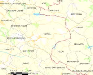
Verfeil
- commune in Haute-Garonne, France
- Country:
- Postal Code: 31590
- Coordinates: 43° 39' 27" N, 1° 39' 39" E
- GPS tracks (wikiloc): [Link]
- AboveSeaLevel: 225 м m
- Area: 41.23 sq km
- Population: 3502
- Web site: [Link]