Mouzeil (Mouzeil)

- commune in Loire-Atlantique, France
- Country:

- Postal Code: 44850
- Coordinates: 47° 26' 53" N, 1° 20' 53" E


- GPS tracks (wikiloc): [Link]
- Area: 18.87 sq km
- Population: 1887
- Web site: http://www.pays-ancenis.fr/index.php?id=4084
- Wikipedia en: wiki(en)
- Wikipedia: wiki(fr)
- Wikidata storage: Wikidata: Q517466
- Wikipedia Commons Category: [Link]
- Freebase ID: [/m/03nwd4v]
- Freebase ID: [/m/03nwd4v]
- GeoNames ID: Alt: [2991292]
- GeoNames ID: Alt: [2991292]
- SIREN number: [214401077]
- SIREN number: [214401077]
- BnF ID: [152602767]
- BnF ID: [152602767]
- VIAF ID: Alt: [148020712]
- VIAF ID: Alt: [148020712]
- Library of Congress authority ID: Alt: [no00054014]
- Library of Congress authority ID: Alt: [no00054014]
- INSEE municipality code: 44107
- INSEE municipality code: 44107
Shares border with regions:

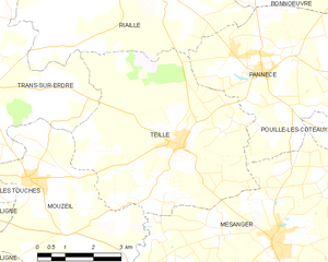
Teillé
- commune in Loire-Atlantique, France
- Country:
- Postal Code: 44440
- Coordinates: 47° 27' 42" N, 1° 16' 47" E
- GPS tracks (wikiloc): [Link]
- AboveSeaLevel: 58 м m
- Area: 28.55 sq km
- Population: 1779
- Web site: [Link]

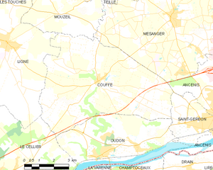
Couffé
- commune in Loire-Atlantique, France
- Country:
- Postal Code: 44521
- Coordinates: 47° 23' 29" N, 1° 17' 34" E
- GPS tracks (wikiloc): [Link]
- Area: 39.97 sq km
- Population: 2518
- Web site: [Link]


Mésanger
- commune in Loire-Atlantique, France
- Country:
- Postal Code: 44522
- Coordinates: 47° 25' 59" N, 1° 13' 53" E
- GPS tracks (wikiloc): [Link]
- Area: 49.75 sq km
- Population: 4665
- Web site: [Link]


Les Touches
- commune in Loire-Atlantique, France
- Country:
- Postal Code: 44390
- Coordinates: 47° 26' 31" N, 1° 25' 50" E
- GPS tracks (wikiloc): [Link]
- Area: 35.15 sq km
- Population: 2463
- Web site: [Link]

Trans-sur-Erdre
- commune in Loire-Atlantique, France
- Country:
- Postal Code: 44440
- Coordinates: 47° 28' 35" N, 1° 22' 25" E
- GPS tracks (wikiloc): [Link]
- Area: 22.56 sq km
- Population: 1046
- Web site: [Link]


Ligné
- commune in Loire-Atlantique, France
- Country:
- Postal Code: 44850
- Coordinates: 47° 24' 42" N, 1° 22' 38" E
- GPS tracks (wikiloc): [Link]
- Area: 45.41 sq km
- Population: 5088
- Web site: [Link]