Nerville-la-Forêt (Nerville-la-Forêt)

- commune in Val-d'Oise, France
- Country:

- Postal Code: 95590
- Coordinates: 49° 5' 23" N, 2° 16' 44" E


- GPS tracks (wikiloc): [Link]
- Area: 6.68 sq km
- Population: 682
- Web site: http://www.nerville-la-foret.fr/
- Wikipedia en: wiki(en)
- Wikipedia: wiki(fr)
- Wikidata storage: Wikidata: Q520711
- Wikipedia Commons Category: [Link]
- Freebase ID: [/m/03qllsl]
- Freebase ID: [/m/03qllsl]
- GeoNames ID: Alt: [2990746]
- GeoNames ID: Alt: [2990746]
- SIREN number: [219504453]
- SIREN number: [219504453]
- BnF ID: [15280490r]
- BnF ID: [15280490r]
- VIAF ID: Alt: [304928150]
- VIAF ID: Alt: [304928150]
- WOEID: [12649890]
- WOEID: [12649890]
- INSEE municipality code: 95445
- INSEE municipality code: 95445
Shares border with regions:

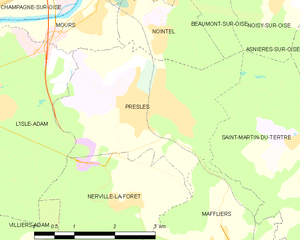
Presles
- commune in Val-d'Oise, France
- Country:
- Postal Code: 95590
- Coordinates: 49° 6' 55" N, 2° 16' 56" E
- GPS tracks (wikiloc): [Link]
- Area: 9.95 sq km
- Population: 3771
- Web site: [Link]


Montsoult
- commune in Val-d'Oise, France
- Country:
- Postal Code: 95560
- Coordinates: 49° 4' 17" N, 2° 18' 38" E
- GPS tracks (wikiloc): [Link]
- Area: 3.84 sq km
- Population: 3414
- Web site: [Link]

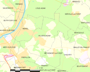
Villiers-Adam
- commune in Val-d'Oise, France
- Country:
- Postal Code: 95840
- Coordinates: 49° 3' 53" N, 2° 14' 7" E
- GPS tracks (wikiloc): [Link]
- Area: 9.82 sq km
- Population: 851
- Web site: [Link]


Maffliers
- commune in Val-d'Oise, France
- Country:
- Postal Code: 95560
- Coordinates: 49° 4' 38" N, 2° 18' 28" E
- GPS tracks (wikiloc): [Link]
- AboveSeaLevel: 188 м m
- Area: 6.79 sq km
- Population: 1849
- Web site: [Link]


L'Isle-Adam
- commune in Val-d'Oise, France
- Country:
- Postal Code: 95290
- Coordinates: 49° 6' 40" N, 2° 13' 22" E
- GPS tracks (wikiloc): [Link]
- Area: 14.94 sq km
- Population: 12249
- Web site: [Link]