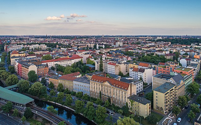
Neukölln (Berlin-Neukölln)


- locality of the borough Neukölln of Berlin, Germany
- Country:

- Postal Code: 12059; 12057; 12055; 12053; 12051; 12049; 12047; 12045; 12043
- Coordinates: 52° 28' 53" N, 13° 26' 7" E


- GPS tracks (wikiloc): [Link]
- AboveSeaLevel: 55 м m
- Area: 11.7 sq km
- Population: 167248
- Wikipedia en: wiki(en)
- Wikipedia: wiki(de)
- Wikidata storage: Wikidata: Q169492
- Wikipedia Commons Gallery: [Link]
- Wikipedia Commons Category: [Link]
- Wikipedia Commons Maps Category: [Link]
- GeoNames ID: Alt: [2864695]
- GND ID: Alt: [4087334-1]
- archINFORM location ID: [3623]
- Library of Congress authority ID: Alt: [n84049705]
Shares border with regions:

Kreuzberg
- locality of Berlin, Germany
- Country:
- Postal Code: 10969; 10999; 10997; 10967; 10965; 10963; 10961
- Coordinates: 52° 29' 15" N, 13° 23' 0" E
- GPS tracks (wikiloc): [Link]
- AboveSeaLevel: 52 м m
- Area: 10.38 sq km
- Population: 153887


Tempelhof
- locality of Berlin
- Country:
- Postal Code: 12279; 12099; 12109; 12105; 12103; 12101
- Coordinates: 52° 28' 0" N, 13° 23' 0" E
- GPS tracks (wikiloc): [Link]
- AboveSeaLevel: 47 м m
- Area: 12.2 sq km
- Population: 59728


Britz
- locality of Berlin
- Country:
- Postal Code: 12359; 12347
- Coordinates: 52° 27' 0" N, 13° 26' 0" E
- GPS tracks (wikiloc): [Link]
- AboveSeaLevel: 44 м m
- Area: 12.4 sq km
- Population: 41613

Plänterwald
- locality of Berlin
- Country:
- Coordinates: 52° 28' 47" N, 13° 28' 31" E
- GPS tracks (wikiloc): [Link]
- AboveSeaLevel: 31 м m
- Area: 3.01 sq km


Baumschulenweg
- locality of Berlin
- Country:
- Coordinates: 52° 27' 54" N, 13° 29' 10" E
- GPS tracks (wikiloc): [Link]
- AboveSeaLevel: 37 м m
- Area: 4.82 sq km
- Population: 17186


Alt-Treptow
- locality of Berlin
- Country:
- Coordinates: 52° 29' 24" N, 13° 26' 58" E
- GPS tracks (wikiloc): [Link]
- AboveSeaLevel: 36 м m
- Area: 2.31 sq km
- Population: 10859