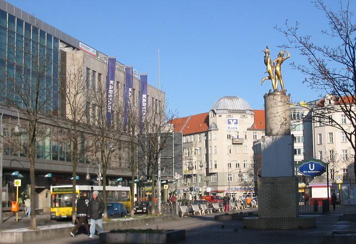
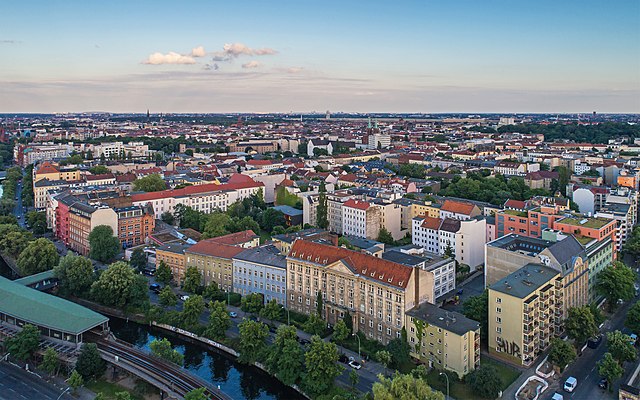
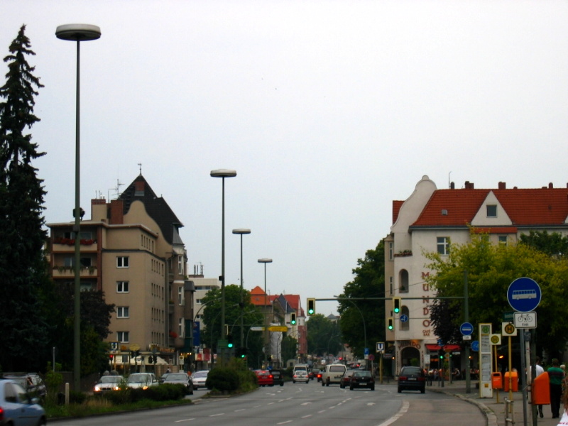
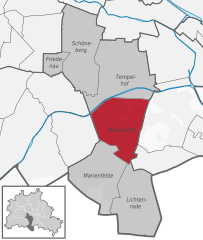
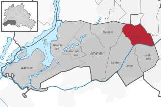
Tempelhof (Tempelhof)

- locality of Berlin
 Hiking in Tempelhof
Tempelhof, a district in Berlin, Germany, is known more for its urban atmosphere than for traditional hiking trails. However, it has unique outdoor spaces that can offer enjoyable walking and exploring experiences for those looking for a more urban hike.
Tempelhofer Feld
The highlight for outdoor activities in Tempelhof is the Tempelhofer Feld, a massive former airport turned public park. Here are some features of the area:
- Open Space: The park spans around 386 hectares, providing ample room for walking, running, cycling, and picnicking. The vast, flat landscape allows for unobstructed views, making it a unique setting.
- Scenic Walks: You can create your own paths across the old runways or venture into the surrounding green areas. There are no formal trails, but the expansive space allows for freedom in exploring.
- Activities: Besides walking, you can find people flying kites, rollerblading, skateboarding, and participating in various community events.
- Nature: While it’s largely a recreational space, you may also encounter various bird species and urban wildlife.
Urban Hiking
If you prefer a more urban hiking experience, you can explore the surrounding neighborhoods. Tempelhof is well-connected to other districts in Berlin, allowing for longer walks or "urban hikes," which can include:
- Local Parks: Check out nearby parks in neighboring districts, such as the Hasenheide or the neighborhood parks in Kreuzberg.
- Historical Landmarks: Take time to explore historical buildings and sites in the area, adding an educational aspect to your urban hike.
- Cafés and Eateries: Don’t forget to stop by local cafés or eateries for a break during your hike.
Tips for Hiking in Tempelhof
- Footwear: Wear comfortable walking shoes, as you'll likely be walking on a mix of pavement and grass.
- Hydration: Bring water, especially if you plan on spending a long time walking.
- Weather: Check the weather ahead of time, as Berlin can be quite variable. Dress in layers for cooler days.
- Start Early: To avoid crowds, especially on weekends, consider starting your hike early in the morning.
While it might not be traditional hiking, Tempelhof offers a fantastic opportunity to enjoy the outdoors in an urban setting.
- Country:

- Postal Code: 12279; 12099; 12109; 12105; 12103; 12101
- Coordinates: 52° 28' 0" N, 13° 23' 0" E


- GPS tracks (wikiloc): [Link]
- AboveSeaLevel: 47 м m
- Area: 12.2 sq km
- Population: 59728
- Wikipedia en: wiki(en)
- Wikipedia: wiki(de)
- Wikidata storage: Wikidata: Q363830
- Wikipedia Commons Gallery: [Link]
- Wikipedia Commons Category: [Link]
- Wikipedia Commons Maps Category: [Link]
- Freebase ID: [/m/02454p]
- GeoNames ID: Alt: [2823538]
- BnF ID: [12568299x]
- VIAF ID: Alt: [128351423]
- OSM relation ID: [162894]
- archINFORM location ID: [3598]
- Library of Congress authority ID: Alt: [n88104052]
- US National Archives Identifier: 10037054
Shares border with regions:

Neukölln
- locality of the borough Neukölln of Berlin, Germany
Hiking in Neukölln
Neukölln, a vibrant district in Berlin, Germany, is not typically known for traditional hiking trails like those found in mountainous regions. However, there are several spots within and around Neukölln where you can enjoy nature walks, green spaces, and urban hiking experiences....
- Country:
- Postal Code: 12059; 12057; 12055; 12053; 12051; 12049; 12047; 12045; 12043
- Coordinates: 52° 28' 53" N, 13° 26' 7" E
- GPS tracks (wikiloc): [Link]
- AboveSeaLevel: 55 м m
- Area: 11.7 sq km
- Population: 167248

Kreuzberg
- locality of Berlin, Germany
Hiking in Kreuzberg
Kreuzberg is a vibrant neighborhood in Berlin, Germany, known for its diverse culture, arts, and nightlife. While it’s primarily an urban area, there are some great outdoor spaces for walking and hiking enthusiasts....
- Country:
- Postal Code: 10969; 10999; 10997; 10967; 10965; 10963; 10961
- Coordinates: 52° 29' 15" N, 13° 23' 0" E
- GPS tracks (wikiloc): [Link]
- AboveSeaLevel: 52 м m
- Area: 10.38 sq km
- Population: 153887


Berlin-Schöneberg
- locality of Berlin, Germany
Hiking in Berlin-Schöneberg
Hiking in Schöneberg, a district in Berlin, Germany, offers a unique blend of urban exploration and access to green spaces. While Schöneberg is primarily known for its vibrant city life, you can find several parks and natural areas that provide great opportunities for hiking and outdoor activities....
- Country:
- Postal Code: 12169; 12161; 12159; 12157; 10829; 10827; 10825; 10823; 10789; 10787; 10783; 10781; 10779; 10777
- Coordinates: 52° 28' 59" N, 13° 20' 59" E
- GPS tracks (wikiloc): [Link]
- AboveSeaLevel: 47 м m
- Area: 10.61 sq km
- Population: 118368


Britz
- locality of Berlin
Hiking in Britz
Britz is a neighborhood located in the borough of Neukölln in Berlin, Germany. It is not particularly known for hiking in the traditional sense, as it is more urban and residential in nature. However, there are some fantastic parks and green areas nearby that offer opportunities for leisurely walks and nature exploration....
- Country:
- Postal Code: 12359; 12347
- Coordinates: 52° 27' 0" N, 13° 26' 0" E
- GPS tracks (wikiloc): [Link]
- AboveSeaLevel: 44 м m
- Area: 12.4 sq km
- Population: 41613
Mariendorf
- locality of Berlin, Germany
Hiking in Mariendorf
Mariendorf is a district in the borough of Tempelhof-Schöneberg in Berlin, Germany. While it may not be known for traditional hiking trails like you might find in more mountainous regions, there are still opportunities for outdoor activities and walks in and around the area....
- Country:
- Postal Code: 12109; 12107; 12105
- Coordinates: 52° 26' 24" N, 13° 23' 24" E
- GPS tracks (wikiloc): [Link]
- AboveSeaLevel: 49 м m
- Area: 9.38 sq km
- Population: 50956

Steglitz
- locality of Berlin
Hiking in Steglitz
Steglitz is a district located in Berlin, Germany, and it offers several opportunities for outdoor activities, including hiking. While Steglitz itself might not have extensive hiking trails like some of the more rural areas surrounding Berlin, there are still some pleasant parks and natural areas where you can enjoy walking and light hiking. Here are a few options:...
- Country:
- Postal Code: 12169; 12167; 12165; 12163; 12161; 12157
- Coordinates: 52° 28' 0" N, 13° 20' 0" E
- GPS tracks (wikiloc): [Link]
- AboveSeaLevel: 51 м m
- Area: 6.79 sq km
- Population: 73463