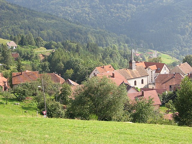
Neuviller-la-Roche (Neuviller-la-Roche)

- commune in Bas-Rhin, France
- Country:

- Postal Code: 67130
- Coordinates: 48° 26' 0" N, 7° 14' 0" E


- GPS tracks (wikiloc): [Link]
- Area: 9.19 sq km
- Population: 358
- Web site: http://neuviller.free.fr
- Wikipedia en: wiki(en)
- Wikipedia: wiki(fr)
- Wikidata storage: Wikidata: Q21355
- Wikipedia Commons Category: [Link]
- Freebase ID: [/m/03m99q0]
- Freebase ID: [/m/03m99q0]
- Freebase ID: [/m/03m99q0]
- GeoNames ID: Alt: [2990532]
- GeoNames ID: Alt: [2990532]
- GeoNames ID: Alt: [2990532]
- SIREN number: [216703215]
- SIREN number: [216703215]
- SIREN number: [216703215]
- BnF ID: [15271463w]
- BnF ID: [15271463w]
- BnF ID: [15271463w]
- VIAF ID: Alt: [247862889]
- VIAF ID: Alt: [247862889]
- VIAF ID: Alt: [247862889]
- GND ID: Alt: [7537969-7]
- GND ID: Alt: [7537969-7]
- GND ID: Alt: [7537969-7]
- INSEE municipality code: 67321
- INSEE municipality code: 67321
- INSEE municipality code: 67321
Shares border with regions:


Natzwiller
- commune in Bas-Rhin, France
- Country:
- Postal Code: 67130
- Coordinates: 48° 26' 16" N, 7° 15' 12" E
- GPS tracks (wikiloc): [Link]
- Area: 7.29 sq km
- Population: 558

Belmont
- commune in Bas-Rhin, France
- Country:
- Postal Code: 67130
- Coordinates: 48° 24' 36" N, 7° 14' 5" E
- GPS tracks (wikiloc): [Link]
- Area: 10.34 sq km
- Population: 169
- Web site: [Link]


Wildersbach
- commune in Bas-Rhin, France
- Country:
- Postal Code: 67130
- Coordinates: 48° 26' 14" N, 7° 13' 23" E
- GPS tracks (wikiloc): [Link]
- Area: 3.3 sq km
- Population: 297
- Web site: [Link]


Ottrott
- commune in Bas-Rhin, France
- Country:
- Postal Code: 67530
- Coordinates: 48° 27' 28" N, 7° 25' 32" E
- GPS tracks (wikiloc): [Link]
- Area: 28.89 sq km
- Population: 1551
- Web site: [Link]


Waldersbach
- commune in Bas-Rhin, France
- Country:
- Postal Code: 67130
- Coordinates: 48° 24' 52" N, 7° 12' 49" E
- GPS tracks (wikiloc): [Link]
- Area: 3.37 sq km
- Population: 136