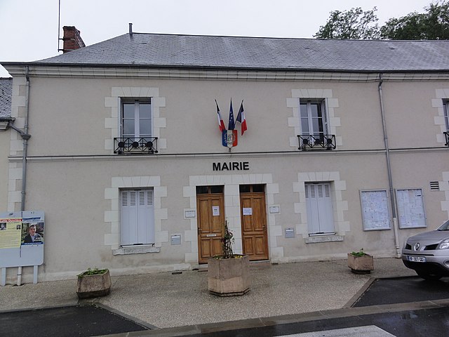
Noizay (Noizay)

- commune in Indre-et-Loire, France
- Country:

- Postal Code: 37210
- Coordinates: 47° 25' 17" N, 0° 53' 30" E


- GPS tracks (wikiloc): [Link]
- Area: 17.47 sq km
- Population: 1150
- Web site: http://www.noizay.net/
- Wikipedia en: wiki(en)
- Wikipedia: wiki(fr)
- Wikidata storage: Wikidata: Q737400
- Wikipedia Commons Category: [Link]
- Freebase ID: [/m/03nvd3k]
- GeoNames ID: Alt: [6433070]
- SIREN number: [213701717]
- BnF ID: [152577225]
- INSEE municipality code: 37171
Shares border with regions:
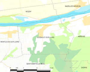
Lussault-sur-Loire
- commune in Indre-et-Loire, France
- Country:
- Postal Code: 37400
- Coordinates: 47° 23' 48" N, 0° 55' 6" E
- GPS tracks (wikiloc): [Link]
- Area: 9.36 sq km
- Population: 750


Chançay
- commune in Indre-et-Loire, France
- Country:
- Postal Code: 37210
- Coordinates: 47° 27' 8" N, 0° 52' 25" E
- GPS tracks (wikiloc): [Link]
- Area: 15.04 sq km
- Population: 1135
- Web site: [Link]

Montlouis-sur-Loire
- commune in Indre-et-Loire, France
- Country:
- Postal Code: 37270
- Coordinates: 47° 23' 18" N, 0° 49' 38" E
- GPS tracks (wikiloc): [Link]
- Area: 24.55 sq km
- Population: 10609
- Web site: [Link]


Nazelles-Négron
- commune in Indre-et-Loire, France
- Country:
- Postal Code: 37530
- Coordinates: 47° 25' 56" N, 0° 57' 12" E
- GPS tracks (wikiloc): [Link]
- AboveSeaLevel: 51 м m
- Area: 22.32 sq km
- Population: 3631
- Web site: [Link]

Vernou-sur-Brenne
- commune in Indre-et-Loire, France
- Country:
- Postal Code: 37210
- Coordinates: 47° 25' 16" N, 0° 50' 44" E
- GPS tracks (wikiloc): [Link]
- Area: 25.91 sq km
- Population: 2693
- Web site: [Link]