canton of Vouvray (canton de Vouvray)

- canton of France
- Country:

- Capital: Vouvray
- Coordinates: 47° 27' 13" N, 0° 48' 32" E


- GPS tracks (wikiloc): [Link]
- Population: 27977
- Wikidata storage: Wikidata: Q1442790
- Library of Congress authority ID: Alt: [n84179245]
- INSEE canton code: [3719]
Includes regions:


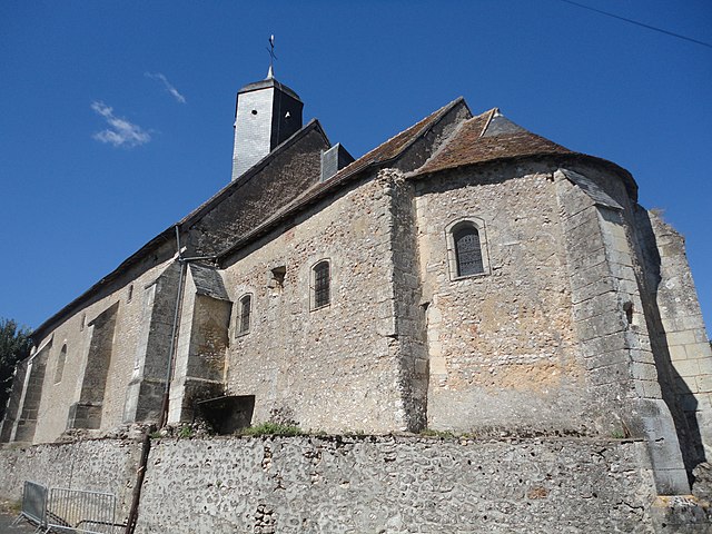
Reugny
- commune in Indre-et-Loire, France
- Country:
- Postal Code: 37380
- Coordinates: 47° 28' 55" N, 0° 53' 3" E
- GPS tracks (wikiloc): [Link]
- Area: 29.72 sq km
- Population: 1644
- Web site: [Link]


Parçay-Meslay
- commune in Indre-et-Loire, France
- Country:
- Postal Code: 37210
- Coordinates: 47° 26' 30" N, 0° 44' 44" E
- GPS tracks (wikiloc): [Link]
- Area: 14.07 sq km
- Population: 2269
- Web site: [Link]

Neuillé-le-Lierre
- commune in Indre-et-Loire, France
- Country:
- Postal Code: 37380
- Coordinates: 47° 30' 43" N, 0° 54' 36" E
- GPS tracks (wikiloc): [Link]
- Area: 16.63 sq km
- Population: 816


Monnaie
- commune in Indre-et-Loire, France
- Country:
- Postal Code: 37380
- Coordinates: 47° 30' 2" N, 0° 47' 7" E
- GPS tracks (wikiloc): [Link]
- Area: 39.42 sq km
- Population: 4298
- Web site: [Link]


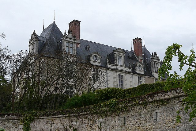
Chançay
- commune in Indre-et-Loire, France
- Country:
- Postal Code: 37210
- Coordinates: 47° 27' 8" N, 0° 52' 25" E
- GPS tracks (wikiloc): [Link]
- Area: 15.04 sq km
- Population: 1135
- Web site: [Link]


Vouvray
- commune in Indre-et-Loire, France
- Country:
- Postal Code: 37210
- Coordinates: 47° 24' 44" N, 0° 47' 57" E
- GPS tracks (wikiloc): [Link]
- Area: 22.92 sq km
- Population: 3191
- Web site: [Link]
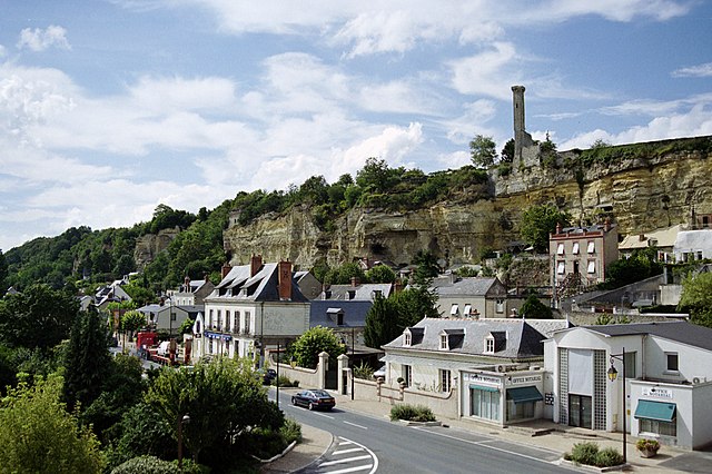

Rochecorbon
- commune in Indre-et-Loire, France
- Country:
- Postal Code: 37210
- Coordinates: 47° 24' 52" N, 0° 45' 18" E
- GPS tracks (wikiloc): [Link]
- Area: 17.09 sq km
- Population: 3179
- Web site: [Link]

Noizay
- commune in Indre-et-Loire, France
- Country:
- Postal Code: 37210
- Coordinates: 47° 25' 17" N, 0° 53' 30" E
- GPS tracks (wikiloc): [Link]
- Area: 17.47 sq km
- Population: 1150
- Web site: [Link]


Notre-Dame-d'Oé
- commune in Indre-et-Loire, France
- Country:
- Postal Code: 37390
- Coordinates: 47° 27' 28" N, 0° 42' 29" E
- GPS tracks (wikiloc): [Link]
- Area: 7.73 sq km
- Population: 4045
- Web site: [Link]

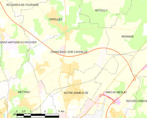
Chanceaux-sur-Choisille
- commune in Indre-et-Loire, France
- Country:
- Postal Code: 37390
- Coordinates: 47° 28' 15" N, 0° 42' 12" E
- GPS tracks (wikiloc): [Link]
- Area: 18.47 sq km
- Population: 3492
- Web site: [Link]

Vernou-sur-Brenne
- commune in Indre-et-Loire, France
- Country:
- Postal Code: 37210
- Coordinates: 47° 25' 16" N, 0° 50' 44" E
- GPS tracks (wikiloc): [Link]
- Area: 25.91 sq km
- Population: 2693
- Web site: [Link]