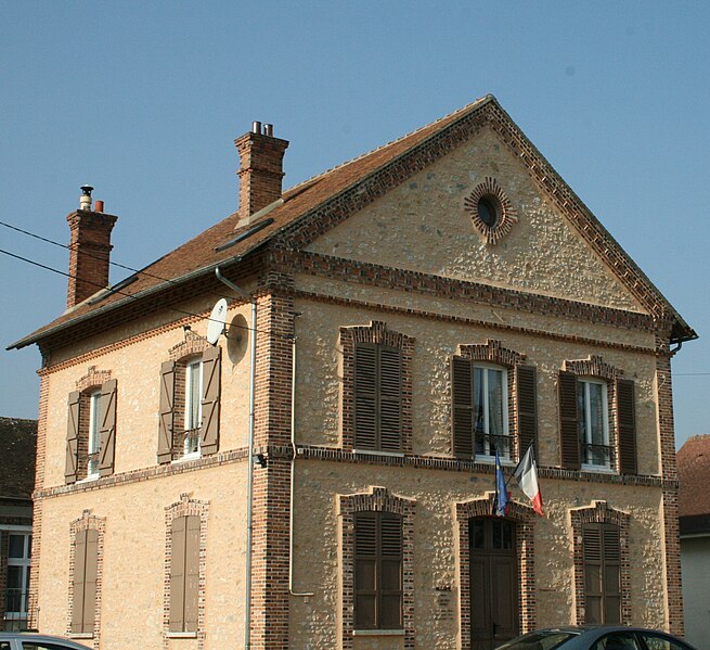
Nonville (Nonville)

- commune in Seine-et-Marne, France
- Country:

- Postal Code: 77140
- Coordinates: 48° 17' 11" N, 2° 47' 17" E


- GPS tracks (wikiloc): [Link]
- Area: 11.43 sq km
- Population: 607
- Web site: http://www.mairie-nonville77.fr
- Wikipedia en: wiki(en)
- Wikipedia: wiki(fr)
- Wikidata storage: Wikidata: Q1459743
- Wikipedia Commons Category: [Link]
- Freebase ID: [/m/02r2dcw]
- Freebase ID: [/m/02r2dcw]
- GeoNames ID: Alt: [6443777]
- GeoNames ID: Alt: [6443777]
- SIREN number: [217703404]
- SIREN number: [217703404]
- BnF ID: [152756800]
- BnF ID: [152756800]
- INSEE municipality code: 77340
- INSEE municipality code: 77340
Shares border with regions:
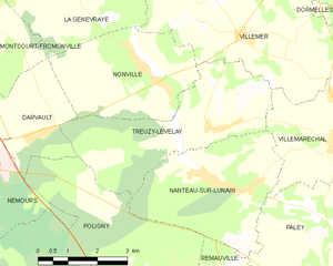
Treuzy-Levelay
- commune in Seine-et-Marne, France
- Country:
- Postal Code: 77710
- Coordinates: 48° 16' 23" N, 2° 48' 49" E
- GPS tracks (wikiloc): [Link]
- Area: 14.1 sq km
- Population: 446


La Genevraye
- commune in Seine-et-Marne, France
- Country:
- Postal Code: 77690
- Coordinates: 48° 19' 14" N, 2° 44' 47" E
- GPS tracks (wikiloc): [Link]
- Area: 13.16 sq km
- Population: 764


Montcourt-Fromonville
- commune in Seine-et-Marne, France
- Country:
- Postal Code: 77140
- Coordinates: 48° 18' 20" N, 2° 42' 13" E
- GPS tracks (wikiloc): [Link]
- Area: 8.17 sq km
- Population: 2007
- Web site: [Link]


Darvault
- commune in Seine-et-Marne, France
- Country:
- Postal Code: 77140
- Coordinates: 48° 16' 16" N, 2° 44' 4" E
- GPS tracks (wikiloc): [Link]
- Area: 7.83 sq km
- Population: 844
- Web site: [Link]

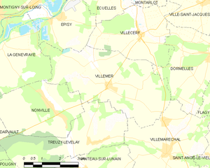
Villemer
- commune in Seine-et-Marne, France
- Country:
- Postal Code: 77250
- Coordinates: 48° 18' 4" N, 2° 49' 31" E
- GPS tracks (wikiloc): [Link]
- Area: 18.54 sq km
- Population: 733
- Web site: [Link]