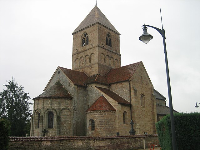
Nonville (Nonville)

- commune in Vosges, France
- Country:

- Postal Code: 88260
- Coordinates: 48° 4' 50" N, 5° 59' 24" E


- GPS tracks (wikiloc): [Link]
- Area: 8.91 sq km
- Population: 204
- Wikipedia en: wiki(en)
- Wikipedia: wiki(fr)
- Wikidata storage: Wikidata: Q126549
- Wikipedia Commons Category: [Link]
- Freebase ID: [/m/03qgty3]
- Freebase ID: [/m/03qgty3]
- GeoNames ID: Alt: [6445665]
- GeoNames ID: Alt: [6445665]
- SIREN number: [218803302]
- SIREN number: [218803302]
- BnF ID: [152792549]
- BnF ID: [152792549]
- INSEE municipality code: 88330
- INSEE municipality code: 88330
Shares border with regions:


Bleurville
- commune in Vosges, France
- Country:
- Postal Code: 88410
- Coordinates: 48° 3' 38" N, 5° 57' 47" E
- GPS tracks (wikiloc): [Link]
- Area: 20.25 sq km
- Population: 338


Attigny
- commune in Vosges, France
- Country:
- Postal Code: 88260
- Coordinates: 48° 3' 53" N, 6° 2' 9" E
- GPS tracks (wikiloc): [Link]
- Area: 16.08 sq km
- Population: 238


Belmont-lès-Darney
- commune in Vosges, France
- Country:
- Postal Code: 88260
- Coordinates: 48° 5' 9" N, 6° 0' 41" E
- GPS tracks (wikiloc): [Link]
- Area: 3.99 sq km
- Population: 110

Relanges
- commune in Vosges, France
- Country:
- Postal Code: 88260
- Coordinates: 48° 6' 46" N, 6° 0' 57" E
- GPS tracks (wikiloc): [Link]
- Area: 13.87 sq km
- Population: 212


Provenchères-lès-Darney
- commune in Vosges, France
- Country:
- Postal Code: 88260
- Coordinates: 48° 7' 43" N, 5° 57' 24" E
- GPS tracks (wikiloc): [Link]
- Area: 9.07 sq km
- Population: 162