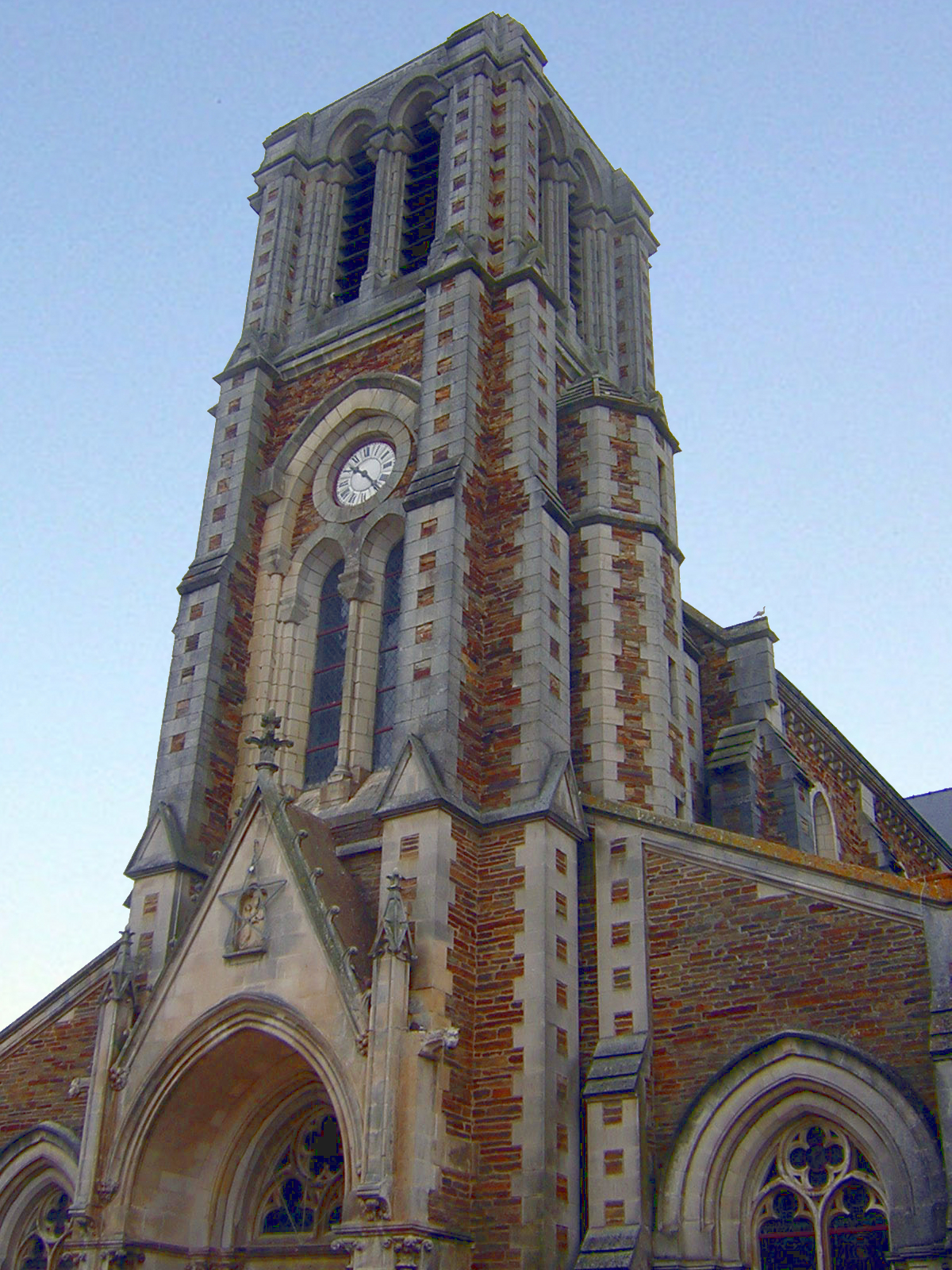
Nort-sur-Erdre (Nort-sur-Erdre)

- commune in Loire-Atlantique, France
- Country:

- Postal Code: 44390
- Coordinates: 47° 26' 22" N, 1° 29' 54" E


- GPS tracks (wikiloc): [Link]
- Area: 66.56 sq km
- Population: 8539
- Web site: http://www.nort-sur-erdre.fr
- Wikipedia en: wiki(en)
- Wikipedia: wiki(fr)
- Wikidata storage: Wikidata: Q818800
- Wikipedia Commons Category: [Link]
- Freebase ID: [/m/03nwc10]
- Freebase ID: [/m/03nwc10]
- GeoNames ID: Alt: [2990085]
- GeoNames ID: Alt: [2990085]
- SIREN number: [214401101]
- SIREN number: [214401101]
- BnF ID: [152602798]
- BnF ID: [152602798]
- WOEID: [614529]
- WOEID: [614529]
- INSEE municipality code: 44110
- INSEE municipality code: 44110
Shares border with regions:

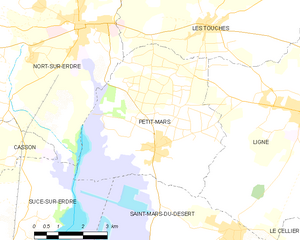
Petit-Mars
- commune in Loire-Atlantique, France
- Country:
- Postal Code: 44390
- Coordinates: 47° 23' 39" N, 1° 27' 18" E
- GPS tracks (wikiloc): [Link]
- Area: 25.97 sq km
- Population: 3608
- Web site: [Link]


Les Touches
- commune in Loire-Atlantique, France
- Country:
- Postal Code: 44390
- Coordinates: 47° 26' 31" N, 1° 25' 50" E
- GPS tracks (wikiloc): [Link]
- Area: 35.15 sq km
- Population: 2463
- Web site: [Link]

Joué-sur-Erdre
- commune in Loire-Atlantique, France
- Country:
- Postal Code: 44440
- Coordinates: 47° 29' 44" N, 1° 25' 13" E
- GPS tracks (wikiloc): [Link]
- Area: 54.53 sq km
- Population: 2399
- Web site: [Link]


Casson
- commune in Loire-Atlantique, France
- Country:
- Postal Code: 44390
- Coordinates: 47° 23' 9" N, 1° 33' 34" E
- GPS tracks (wikiloc): [Link]
- Area: 16.15 sq km
- Population: 2183
- Web site: [Link]

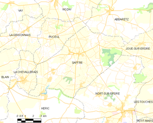
Saffré
- commune in Loire-Atlantique, France
- Country:
- Postal Code: 44390
- Coordinates: 47° 30' 6" N, 1° 34' 43" E
- GPS tracks (wikiloc): [Link]
- Area: 57.46 sq km
- Population: 3814
- Web site: [Link]


Héric
- commune in Loire-Atlantique, France
- Country:
- Postal Code: 44810
- Coordinates: 47° 24' 45" N, 1° 39' 6" E
- GPS tracks (wikiloc): [Link]
- Area: 73.93 sq km
- Population: 5876
- Web site: [Link]

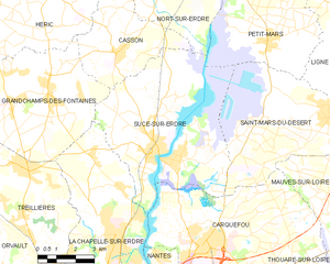
Sucé-sur-Erdre
- commune in Loire-Atlantique, France
- Country:
- Postal Code: 44240
- Coordinates: 47° 20' 0" N, 1° 32' 0" E
- GPS tracks (wikiloc): [Link]
- AboveSeaLevel: 14 м m
- Area: 41.33 sq km
- Population: 6903
- Web site: [Link]