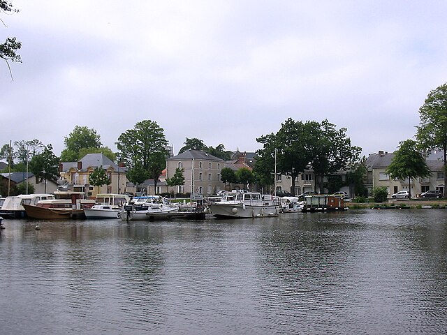
Sucé-sur-Erdre (Sucé-sur-Erdre)

- commune in Loire-Atlantique, France
- Country:

- Postal Code: 44240
- Coordinates: 47° 20' 0" N, 1° 32' 0" E


- GPS tracks (wikiloc): [Link]
- AboveSeaLevel: 14 м m
- Area: 41.33 sq km
- Population: 6903
- Web site: http://www.sucesurerdre.fr
- Wikipedia en: wiki(en)
- Wikipedia: wiki(fr)
- Wikidata storage: Wikidata: Q829373
- Wikipedia Commons Category: [Link]
- Freebase ID: [/m/04mhy8]
- Freebase ID: [/m/04mhy8]
- GeoNames ID: Alt: [2973748]
- GeoNames ID: Alt: [2973748]
- SIREN number: [214402018]
- SIREN number: [214402018]
- BnF ID: [15260370f]
- BnF ID: [15260370f]
- VIAF ID: Alt: [218260190]
- VIAF ID: Alt: [218260190]
- SUDOC authorities ID: [073425702]
- SUDOC authorities ID: [073425702]
- INSEE municipality code: 44201
- INSEE municipality code: 44201
Shares border with regions:


Saint-Mars-du-Désert
- commune in Loire-Atlantique, France
- Country:
- Postal Code: 44850
- Coordinates: 47° 21' 59" N, 1° 24' 21" E
- GPS tracks (wikiloc): [Link]
- Area: 30.46 sq km
- Population: 4721
- Web site: [Link]

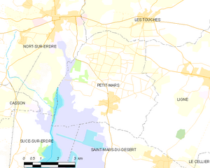
Petit-Mars
- commune in Loire-Atlantique, France
- Country:
- Postal Code: 44390
- Coordinates: 47° 23' 39" N, 1° 27' 18" E
- GPS tracks (wikiloc): [Link]
- Area: 25.97 sq km
- Population: 3608
- Web site: [Link]


Carquefou
- commune in Loire-Atlantique, France
- Country:
- Postal Code: 44470
- Coordinates: 47° 17' 49" N, 1° 29' 34" E
- GPS tracks (wikiloc): [Link]
- Area: 43.42 sq km
- Population: 19411
- Web site: [Link]


Casson
- commune in Loire-Atlantique, France
- Country:
- Postal Code: 44390
- Coordinates: 47° 23' 9" N, 1° 33' 34" E
- GPS tracks (wikiloc): [Link]
- Area: 16.15 sq km
- Population: 2183
- Web site: [Link]

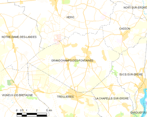
Grandchamps-des-Fontaines
- commune in Loire-Atlantique, France
- Country:
- Postal Code: 44119
- Coordinates: 47° 21' 54" N, 1° 36' 19" E
- GPS tracks (wikiloc): [Link]
- AboveSeaLevel: 35 м m
- Area: 33.87 sq km
- Population: 5665
- Web site: [Link]


La Chapelle-sur-Erdre
- commune in Loire-Atlantique, France
- Country:
- Postal Code: 44240
- Coordinates: 47° 17' 56" N, 1° 33' 10" E
- GPS tracks (wikiloc): [Link]
- Area: 33.42 sq km
- Population: 19159
- Web site: [Link]

Nort-sur-Erdre
- commune in Loire-Atlantique, France
- Country:
- Postal Code: 44390
- Coordinates: 47° 26' 22" N, 1° 29' 54" E
- GPS tracks (wikiloc): [Link]
- Area: 66.56 sq km
- Population: 8539
- Web site: [Link]