Notre-Dame-des-Landes (Notre-Dame-des-Landes)

- commune in Loire-Atlantique, France
- Country:

- Postal Code: 44130
- Coordinates: 47° 22' 51" N, 1° 42' 36" E


- GPS tracks (wikiloc): [Link]
- Area: 37.4 sq km
- Population: 2098
- Web site: http://www.notredamedeslandes.fr
- Wikipedia en: wiki(en)
- Wikipedia: wiki(fr)
- Wikidata storage: Wikidata: Q733497
- Wikipedia Commons Category: [Link]
- Freebase ID: [/m/03nwc1q]
- Freebase ID: [/m/03nwc1q]
- GeoNames ID: Alt: [2990039]
- GeoNames ID: Alt: [2990039]
- SIREN number: [214401119]
- SIREN number: [214401119]
- BnF ID: [15260280g]
- BnF ID: [15260280g]
- VIAF ID: Alt: [247815003]
- VIAF ID: Alt: [247815003]
- GND ID: Alt: [4413208-6]
- GND ID: Alt: [4413208-6]
- Library of Congress authority ID: Alt: [n2016026546]
- Library of Congress authority ID: Alt: [n2016026546]
- INSEE municipality code: 44111
- INSEE municipality code: 44111
Shares border with regions:


Blain
- commune in Loire-Atlantique, France
- Country:
- Postal Code: 44130
- Coordinates: 47° 28' 34" N, 1° 45' 49" E
- GPS tracks (wikiloc): [Link]
- Area: 101.72 sq km
- Population: 9638
- Web site: [Link]


Héric
- commune in Loire-Atlantique, France
- Country:
- Postal Code: 44810
- Coordinates: 47° 24' 45" N, 1° 39' 6" E
- GPS tracks (wikiloc): [Link]
- Area: 73.93 sq km
- Population: 5876
- Web site: [Link]

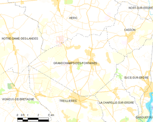
Grandchamps-des-Fontaines
- commune in Loire-Atlantique, France
- Country:
- Postal Code: 44119
- Coordinates: 47° 21' 54" N, 1° 36' 19" E
- GPS tracks (wikiloc): [Link]
- AboveSeaLevel: 35 м m
- Area: 33.87 sq km
- Population: 5665
- Web site: [Link]


Vigneux-de-Bretagne
- commune in Loire-Atlantique, France
- Country:
- Postal Code: 44360
- Coordinates: 47° 19' 32" N, 1° 44' 12" E
- GPS tracks (wikiloc): [Link]
- Area: 54.68 sq km
- Population: 5822
- Web site: [Link]

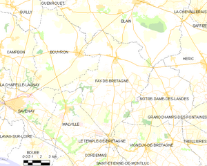
Fay-de-Bretagne
- commune in Loire-Atlantique, France
- Country:
- Postal Code: 44130
- Coordinates: 47° 24' 54" N, 1° 47' 29" E
- GPS tracks (wikiloc): [Link]
- Area: 64.81 sq km
- Population: 3568
- Web site: [Link]