Nozières (Nozières)

- commune in Cher, France
- Country:

- Postal Code: 18200
- Coordinates: 46° 43' 52" N, 2° 26' 4" E


- GPS tracks (wikiloc): [Link]
- Area: 10.35 sq km
- Population: 218
- Wikipedia en: wiki(en)
- Wikipedia: wiki(fr)
- Wikidata storage: Wikidata: Q1143265
- Wikipedia Commons Category: [Link]
- Freebase ID: [/m/03md1nm]
- GeoNames ID: Alt: [6428240]
- SIREN number: [211801691]
- PACTOLS thesaurus ID: [pcrty6IfRlLjzA]
- INSEE municipality code: 18169
Shares border with regions:
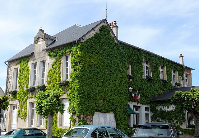

Orval
- commune in Cher, France
- Country:
- Postal Code: 18200
- Coordinates: 46° 43' 32" N, 2° 28' 54" E
- GPS tracks (wikiloc): [Link]
- Area: 7.65 sq km
- Population: 1838
- Web site: [Link]


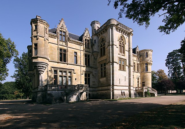
Orcenais
- commune in Cher, France
- Country:
- Postal Code: 18200
- Coordinates: 46° 43' 6" N, 2° 25' 32" E
- GPS tracks (wikiloc): [Link]
- Area: 18.93 sq km
- Population: 252

Farges-Allichamps
- commune in Cher, France
- Country:
- Postal Code: 18200
- Coordinates: 46° 45' 31" N, 2° 24' 1" E
- GPS tracks (wikiloc): [Link]
- Area: 8.3 sq km
- Population: 245


Bruère-Allichamps
- commune in Cher, France
- Country:
- Postal Code: 18200
- Coordinates: 46° 46' 6" N, 2° 25' 57" E
- GPS tracks (wikiloc): [Link]
- Area: 13.9 sq km
- Population: 566


Vallenay
- commune in Cher, France
- Country:
- Postal Code: 18190
- Coordinates: 46° 48' 5" N, 2° 22' 16" E
- GPS tracks (wikiloc): [Link]
- Area: 25.66 sq km
- Population: 736