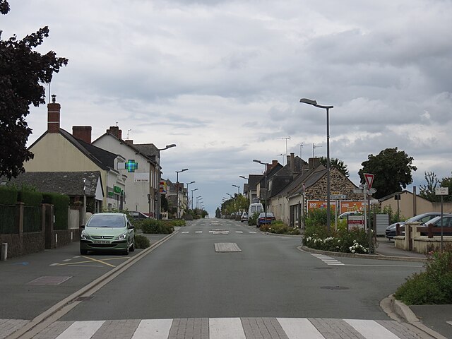
Nyoiseau (Nyoiseau)

- former commune in Maine-et-Loire, France
- Country:

- Postal Code: 49500
- Coordinates: 47° 43' 0" N, 0° 54' 59" E


- GPS tracks (wikiloc): [Link]
- Area: 15.55 sq km
- Population: 1216
- Web site: http://www.nyoiseau.fr
- Wikipedia en: wiki(en)
- Wikipedia: wiki(fr)
- Wikidata storage: Wikidata: Q1418750
- Wikipedia Commons Category: [Link]
- Freebase ID: [/m/03w9jzv]
- GeoNames ID: Alt: [6435262]
- BnF ID: [15261833v]
- PACTOLS thesaurus ID: [pcrtOiSyBGRsZy]
- INSEE municipality code: 49233
Shares border with regions:


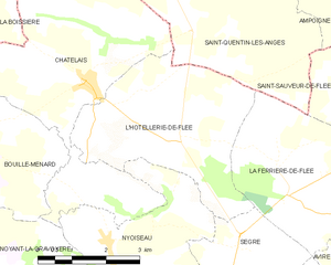
Châtelais
- former commune in Maine-et-Loire, France
- Country:
- Postal Code: 49520
- Coordinates: 47° 45' 27" N, 0° 55' 38" E
- GPS tracks (wikiloc): [Link]
- Area: 23.68 sq km
- Population: 664
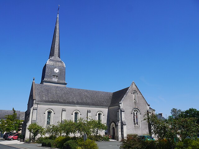
L'Hôtellerie-de-Flée
- former commune in Maine-et-Loire, France
- Country:
- Postal Code: 49500
- Coordinates: 47° 44' 40" N, 0° 53' 22" E
- GPS tracks (wikiloc): [Link]
- Area: 14.77 sq km
- Population: 513


Le Bourg-d'Iré
- former commune in Maine-et-Loire, France
- Country:
- Postal Code: 49520
- Coordinates: 47° 40' 49" N, 0° 58' 2" E
- GPS tracks (wikiloc): [Link]
- AboveSeaLevel: 64 м m
- Area: 23.03 sq km
- Population: 900
- Web site: [Link]

Noyant-la-Gravoyère
- former commune in Maine-et-Loire, France
- Country:
- Postal Code: 49520
- Coordinates: 47° 42' 14" N, 0° 57' 19" E
- GPS tracks (wikiloc): [Link]
- Area: 11.91 sq km
- Population: 1894
- Web site: [Link]
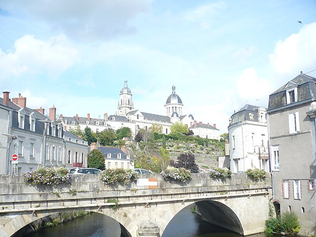

Segré
- former commune in Maine-et-Loire, France
- Country:
- Postal Code: 49500
- Coordinates: 47° 41' 11" N, 0° 52' 21" E
- GPS tracks (wikiloc): [Link]
- Area: 15.88 sq km
- Population: 6866
- Web site: [Link]

Sainte-Gemmes-d'Andigné
- former commune in Maine-et-Loire, France
- Country:
- Postal Code: 49500
- Coordinates: 47° 40' 29" N, 0° 53' 5" E
- GPS tracks (wikiloc): [Link]
- AboveSeaLevel: 32 м m
- Area: 25.34 sq km
- Population: 1489