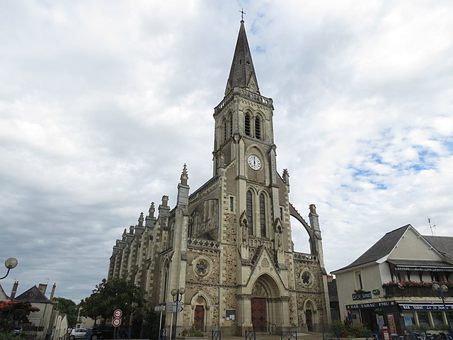
Segré (Segré)

- former commune in Maine-et-Loire, France
- Country:

- Postal Code: 49500
- Coordinates: 47° 41' 11" N, 0° 52' 21" E


- GPS tracks (wikiloc): [Link]
- Area: 15.88 sq km
- Population: 6866
- Web site: http://www.ville-segre.fr
- Wikipedia en: wiki(en)
- Wikipedia: wiki(fr)
- Wikidata storage: Wikidata: Q549330
- Wikipedia Commons Category: [Link]
- Freebase ID: [/m/08sg7s]
- GeoNames ID: Alt: [2975314]
- BnF ID: [152619303]
- MusicBrainz area ID: [4d314705-34bf-4f94-8f39-07ef9f1950f3]
- INSEE municipality code: 49331
Shares border with regions:
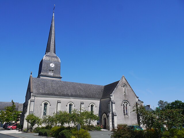
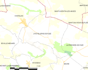
L'Hôtellerie-de-Flée
- former commune in Maine-et-Loire, France
- Country:
- Postal Code: 49500
- Coordinates: 47° 44' 40" N, 0° 53' 22" E
- GPS tracks (wikiloc): [Link]
- Area: 14.77 sq km
- Population: 513


Louvaines
- former commune in Maine-et-Loire, France
- Country:
- Postal Code: 49500
- Coordinates: 47° 41' 30" N, 0° 48' 9" E
- GPS tracks (wikiloc): [Link]
- Area: 15.07 sq km
- Population: 501


Nyoiseau
- former commune in Maine-et-Loire, France
- Country:
- Postal Code: 49500
- Coordinates: 47° 43' 0" N, 0° 54' 59" E
- GPS tracks (wikiloc): [Link]
- Area: 15.55 sq km
- Population: 1216
- Web site: [Link]


La Ferrière-de-Flée
- former commune in Maine-et-Loire, France
- Country:
- Postal Code: 49500
- Coordinates: 47° 43' 52" N, 0° 50' 46" E
- GPS tracks (wikiloc): [Link]
- Area: 13.12 sq km
- Population: 359

La Chapelle-sur-Oudon
- former commune in Maine-et-Loire, France
- Country:
- Postal Code: 49500
- Coordinates: 47° 40' 43" N, 0° 49' 35" E
- GPS tracks (wikiloc): [Link]
- Area: 12.73 sq km
- Population: 572

Sainte-Gemmes-d'Andigné
- former commune in Maine-et-Loire, France
- Country:
- Postal Code: 49500
- Coordinates: 47° 40' 29" N, 0° 53' 5" E
- GPS tracks (wikiloc): [Link]
- AboveSeaLevel: 32 м m
- Area: 25.34 sq km
- Population: 1489