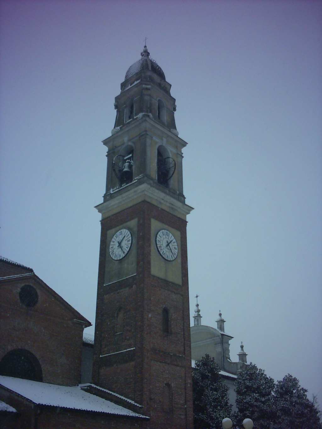
Olmeneta (Olmeneta)
.svg)
- Italian comune
 Hiking in Olmeneta
Olmeneta, located in Italy, is a beautiful destination for hiking enthusiasts. Nestled in the scenic landscapes of the Apennine Mountains, Olmeneta offers a variety of trails suitable for different skill levels, from beginners to more experienced hikers.
Key Highlights of Hiking in Olmeneta:
-
Diverse Trails: The area features a variety of hiking trails, each with unique landscapes, including lush forests, rolling hills, and panoramic vistas. Many trails are well-marked, making navigation easier.
-
Natural Beauty: The region is known for its stunning natural beauty, with opportunities to see local wildlife and diverse plant species. Spring and fall are particularly enchanting, as the flora and fauna are vibrant during these seasons.
-
Cultural Sites: Along some hiking routes, you may encounter historical landmarks, such as ancient churches or ruins, adding a cultural dimension to your hike.
-
Accessibility: Several trails are accessible for families and casual walkers, while others offer more challenging routes for experienced hikers seeking to push their limits.
-
Local Cuisine: After a day of hiking, you can enjoy the local Italian cuisine at nearby restaurants or agriturismos, known for their fresh ingredients and traditional dishes.
-
Weather Considerations: Always check the local weather before heading out, as conditions can vary. Spring and early fall are ideal times for hiking, while summer can be hot, and winter may have snow in higher elevations.
-
Safety Tips: Ensure you have proper hiking gear, including sturdy footwear, and carry enough water and snacks. It’s also wise to inform someone about your hiking plans and expected return time.
If you’re planning a hike in Olmeneta, consider starting with easier trails to get accustomed to the terrain. As you gain confidence, you can explore more challenging paths. Happy hiking!
- Country:

- Postal Code: 26010
- Local Dialing Code: 0372
- Licence Plate Code: CR
- Coordinates: 45° 14' 0" N, 10° 1' 0" E


- GPS tracks (wikiloc): [Link]
- AboveSeaLevel: 55 м m
- Area: 9.15 sq km
- Population: 946
- Web site: http://www.comune.olmeneta.cr.it
- Wikipedia en: wiki(en)
- Wikipedia: wiki(it)
- Wikidata storage: Wikidata: Q42405
- Wikipedia Commons Category: [Link]
- Freebase ID: [/m/0gjzbb]
- GeoNames ID: Alt: [6537216]
- OSM relation ID: [44515]
- ISTAT ID: 019063
- Italian cadastre code: G047
Shares border with regions:
Corte de’ Cortesi con Cignone
- Italian comune
Hiking in Corte de’ Cortesi con Cignone
Corte de' Cortesi con Cignone is a small town in the Lombardy region of Italy. While it may not be a well-known hiking destination, the surrounding area offers some beautiful landscapes for outdoor enthusiasts....
- Country:
- Postal Code: 26020
- Local Dialing Code: 0372
- Licence Plate Code: CR
- Coordinates: 45° 16' 0" N, 10° 0' 0" E
- GPS tracks (wikiloc): [Link]
- AboveSeaLevel: 60 м m
- Area: 12.85 sq km
- Population: 1087
- Web site: [Link]
Pozzaglio ed Uniti
- Italian comune
Hiking in Pozzaglio ed Uniti
Pozzaglio ed Uniti is a charming village located in the Lombardy region of Italy, near the city of Cremona. While it may not be widely recognized as a major hiking destination, the area surrounding Pozzaglio ed Uniti offers opportunities for scenic walks and hikes, particularly through the beautiful countryside of the Po Valley....
- Country:
- Postal Code: 26010
- Local Dialing Code: 0372
- Licence Plate Code: CR
- Coordinates: 45° 12' 0" N, 10° 3' 0" E
- GPS tracks (wikiloc): [Link]
- AboveSeaLevel: 50 м m
- Area: 20.4 sq km
- Population: 1473
- Web site: [Link]
Robecco d'Oglio
- Italian comune
Hiking in Robecco d'Oglio
Robecco d'Oglio is a picturesque village located in the Lombardy region of Italy, nestled along the Oglio River. This area is rich in natural beauty and offers several opportunities for hiking and outdoor activities. Here are some key points about hiking in and around Robecco d'Oglio:...
- Country:
- Postal Code: 26010
- Local Dialing Code: 0372
- Licence Plate Code: CR
- Coordinates: 45° 16' 0" N, 10° 5' 0" E
- GPS tracks (wikiloc): [Link]
- AboveSeaLevel: 48 м m
- Area: 17.96 sq km
- Population: 2343
- Web site: [Link]

Castelverde
- Italian comune
Hiking in Castelverde
Castelverde, located in the Lazio region of Italy, is an area that offers a unique blend of natural beauty and cultural heritage suitable for hiking enthusiasts. While it may not be as widely known as other hiking destinations in Italy, it still boasts some scenic trails and opportunities for outdoor exploration....
- Country:
- Postal Code: 26022
- Local Dialing Code: 0372
- Licence Plate Code: CR
- Coordinates: 45° 11' 15" N, 9° 59' 49" E
- GPS tracks (wikiloc): [Link]
- AboveSeaLevel: 52 м m
- Area: 30.89 sq km
- Population: 5715
- Web site: [Link]
Casalbuttano ed Uniti
- Italian comune
Hiking in Casalbuttano ed Uniti
Casalbuttano ed Uniti is a charming municipality located in the province of Cremona in Lombardy, Italy. While it's not widely known as a major hiking destination, the surrounding countryside and nearby natural areas offer opportunities for hiking and outdoor exploration....
- Country:
- Postal Code: 26011
- Local Dialing Code: 0374
- Licence Plate Code: CR
- Coordinates: 45° 15' 0" N, 9° 58' 0" E
- GPS tracks (wikiloc): [Link]
- AboveSeaLevel: 60 м m
- Area: 22.88 sq km
- Population: 3907
- Web site: [Link]