Oudan (Oudan)

- commune in Nièvre, France
- Country:

- Postal Code: 58210
- Coordinates: 47° 20' 50" N, 3° 20' 59" E


- GPS tracks (wikiloc): [Link]
- Area: 20.11 sq km
- Population: 144
- Wikipedia en: wiki(en)
- Wikipedia: wiki(fr)
- Wikidata storage: Wikidata: Q46541
- Wikipedia Commons Category: [Link]
- Freebase ID: [/m/03qfdxb]
- GeoNames ID: Alt: [6438041]
- SIREN number: [215802018]
- BnF ID: [15266466x]
- INSEE municipality code: 58201
Shares border with regions:
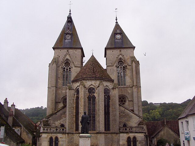

Varzy
- commune in Nièvre, France
- Country:
- Postal Code: 58210
- Coordinates: 47° 21' 32" N, 3° 23' 11" E
- GPS tracks (wikiloc): [Link]
- Area: 41.18 sq km
- Population: 1227
- Web site: [Link]


Saint-Malo-en-Donziois
- commune in Nièvre, France
- Country:
- Postal Code: 58350
- Coordinates: 47° 18' 48" N, 3° 16' 3" E
- GPS tracks (wikiloc): [Link]
- Area: 14.81 sq km
- Population: 130


Menou
- commune in Nièvre, France
- Country:
- Postal Code: 58210
- Coordinates: 47° 22' 9" N, 3° 16' 50" E
- GPS tracks (wikiloc): [Link]
- Area: 17.41 sq km
- Population: 183


Champlemy
- commune in Nièvre, France
- Country:
- Postal Code: 58210
- Coordinates: 47° 17' 9" N, 3° 21' 4" E
- GPS tracks (wikiloc): [Link]
- Area: 36.82 sq km
- Population: 336


La Chapelle-Saint-André
- commune in Nièvre, France
- Country:
- Postal Code: 58210
- Coordinates: 47° 23' 39" N, 3° 20' 40" E
- GPS tracks (wikiloc): [Link]
- Area: 27.15 sq km
- Population: 342


Colméry
- commune in Nièvre, France
- Country:
- Postal Code: 58350
- Coordinates: 47° 20' 51" N, 3° 15' 2" E
- GPS tracks (wikiloc): [Link]
- Area: 24.17 sq km
- Population: 344