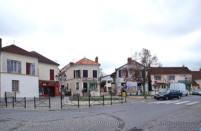
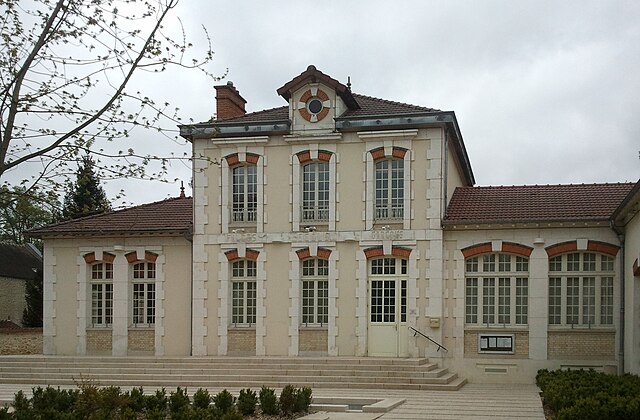
Périgny (Périgny)

- commune in Val-de-Marne, France
- Country:

- Postal Code: 94520
- Coordinates: 48° 41' 42" N, 2° 33' 6" E


- GPS tracks (wikiloc): [Link]
- Area: 2.79 sq km
- Population: 2604
- Web site: http://www.perigny-sur-yerres.fr
- Wikipedia en: wiki(en)
- Wikipedia: wiki(fr)
- Wikidata storage: Wikidata: Q635663
- Wikipedia Commons Category: [Link]
- Freebase ID: [/m/09s2c2]
- Freebase ID: [/m/09s2c2]
- GeoNames ID: Alt: [6452029]
- GeoNames ID: Alt: [6452029]
- SIREN number: [219400561]
- SIREN number: [219400561]
- BnF ID: [152803491]
- BnF ID: [152803491]
- VIAF ID: Alt: [125897247]
- VIAF ID: Alt: [125897247]
- MusicBrainz area ID: [84bc13f0-c40f-489a-b978-385dedae877d]
- MusicBrainz area ID: [84bc13f0-c40f-489a-b978-385dedae877d]
- INSEE municipality code: 94056
- INSEE municipality code: 94056
Shares border with regions:


Brie-Comte-Robert
- commune in Seine-et-Marne, France
- Country:
- Postal Code: 77170
- Coordinates: 48° 41' 33" N, 2° 36' 40" E
- GPS tracks (wikiloc): [Link]
- Area: 19.93 sq km
- Population: 16635
- Web site: [Link]

Servon
- commune in Seine-et-Marne, France
- Country:
- Postal Code: 77170
- Coordinates: 48° 43' 1" N, 2° 35' 14" E
- GPS tracks (wikiloc): [Link]
- Area: 7.4 sq km
- Population: 3133
- Web site: [Link]

Boussy-Saint-Antoine
- commune in Essonne, France
- Country:
- Postal Code: 91800
- Coordinates: 48° 41' 27" N, 2° 31' 57" E
- GPS tracks (wikiloc): [Link]
- Area: 2.9 sq km
- Population: 7027
- Web site: [Link]
Varennes-Jarcy
- commune in Essonne, France
- Country:
- Postal Code: 91480
- Coordinates: 48° 40' 41" N, 2° 33' 35" E
- GPS tracks (wikiloc): [Link]
- Area: 5.48 sq km
- Population: 2315
- Web site: [Link]


Mandres-les-Roses
- commune in Val-de-Marne, France
- Country:
- Postal Code: 94520
- Coordinates: 48° 42' 8" N, 2° 32' 40" E
- GPS tracks (wikiloc): [Link]
- Area: 3.3 sq km
- Population: 4479
- Web site: [Link]